Hurricane Winds Mark Powell NOAA-AOML Hurricane Research Division M. POWELL HURRICANE IMPACTS 2012.
Naomi Surgi
NCEP/Environmental Modeling Center
WHERE AMERICA’S CLIMATE AND WEATHER SERVICES BEGIN
HWRF Program Leader
Advanced Hurricane Modeling in NOAA: The HWRF

• Final GFDL upgrades • Transition to the HWRF • T&E
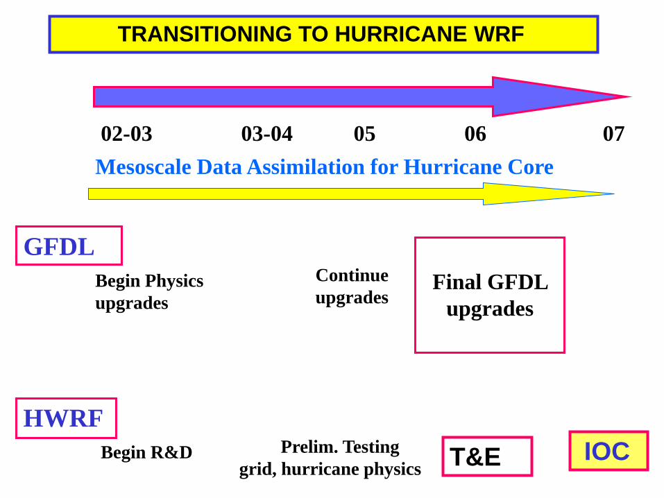
02-03 03-04 05 06 07 Mesoscale Data Assimilation for Hurricane Core
Prelim. Testing grid, hurricane physics
HWRF
Final GFDL
upgrades
TRANSITIONING TO HURRICANE WRF
Begin R&D
Continue upgrades
T&E
Begin Physics upgrades
IOC
GFDL
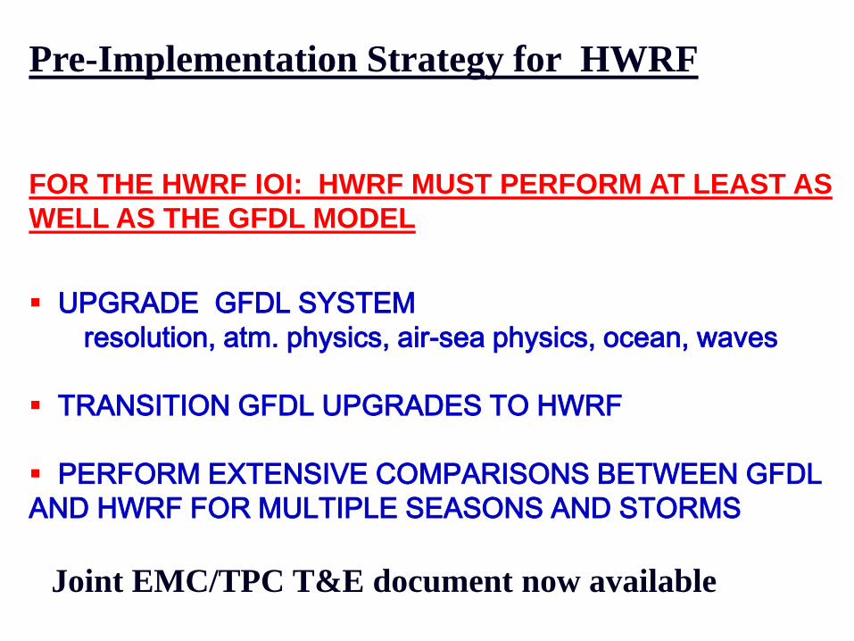
Pre-Implementation Strategy for HWRF
FOR THE HWRF IOI: HWRF MUST PERFORM AT LEAST AS WELL AS THE GFDL MODEL
UPGRADE GFDL SYSTEM resolution, atm. physics, air-sea physics, ocean, waves TRANSITION GFDL UPGRADES TO HWRF PERFORM EXTENSIVE COMPARISONS BETWEEN GFDL AND HWRF FOR MULTIPLE SEASONS AND STORMS
Joint EMC/TPC T&E document now available
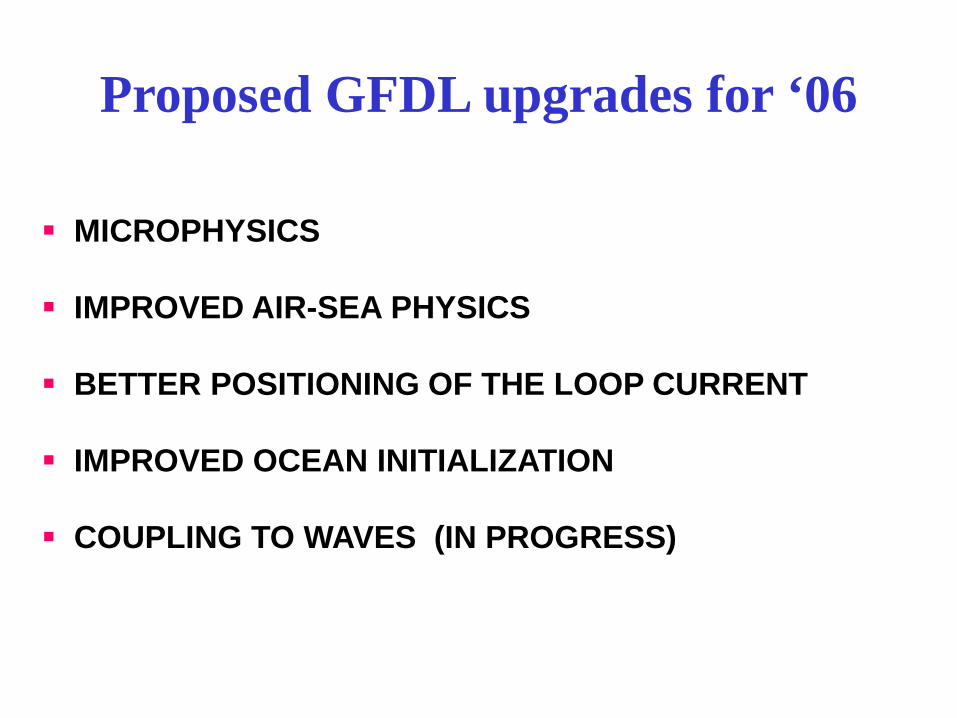
MICROPHYSICS IMPROVED AIR-SEA PHYSICS BETTER POSITIONING OF THE LOOP CURRENT IMPROVED OCEAN INITIALIZATION COUPLING TO WAVES (IN PROGRESS)
Proposed GFDL upgrades for ‘06

2006 UPGRADE SHOULD PROVIDE REDUCED ERRORS IN TRACK PREDICTION
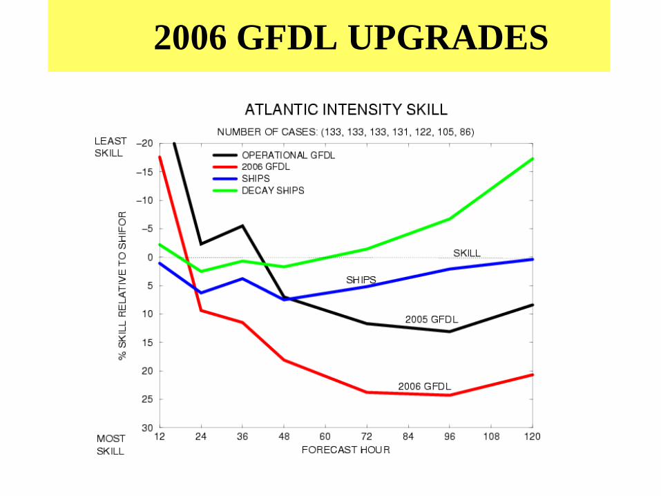
2006 GFDL UPGRADES
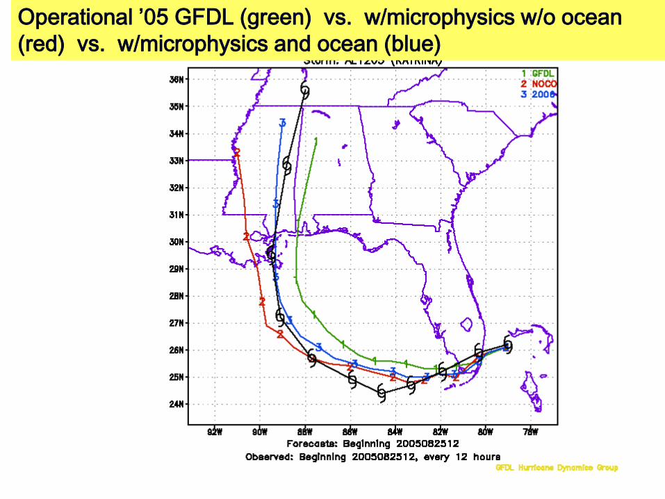
Operational ’05 GFDL (green) vs. w/microphysics w/o ocean (red) vs. w/microphysics and ocean (blue)
Transitioning to the HWRF system…..

Hurricane-Wave-Ocean-Surge-Inundation Coupled Models
High resolution Coastal, Bay & Estuarine hydrodynamic model
Atmosphere/oceanic Boundary Layer
HYCOM 3D ocean circulation model WAVEWATCH III
Spectral wave model
NOAH LSM
NOS land and coastal waters
NCEP/Environmental Modeling Center Atmosphere- Ocean-Wave-Land
runoff
fluxes
wave fluxes
wave spectra
winds air temp. SST
currents
elevations currents 3D salinities temperatures
other fluxes
surge inundation
radiative fluxes
HWRF SYSTEM NMM hurricane atmosphere
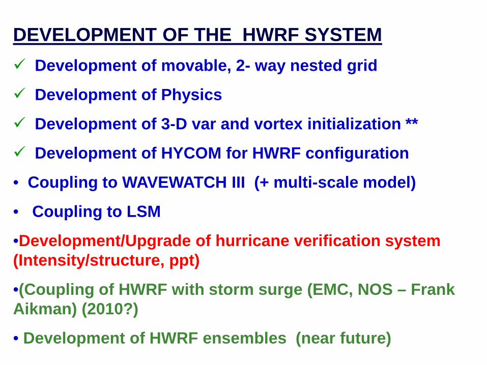
DEVELOPMENT OF THE HWRF SYSTEM Development of movable, 2- way nested grid
Development of Physics
Development of 3-D var and vortex initialization **
Development of HYCOM for HWRF configuration
• Coupling to WAVEWATCH III (+ multi-scale model)
• Coupling to LSM
•Development/Upgrade of hurricane verification system (Intensity/structure, ppt)
•(Coupling of HWRF with storm surge (EMC, NOS – Frank Aikman) (2010?)
• Development of HWRF ensembles (near future)
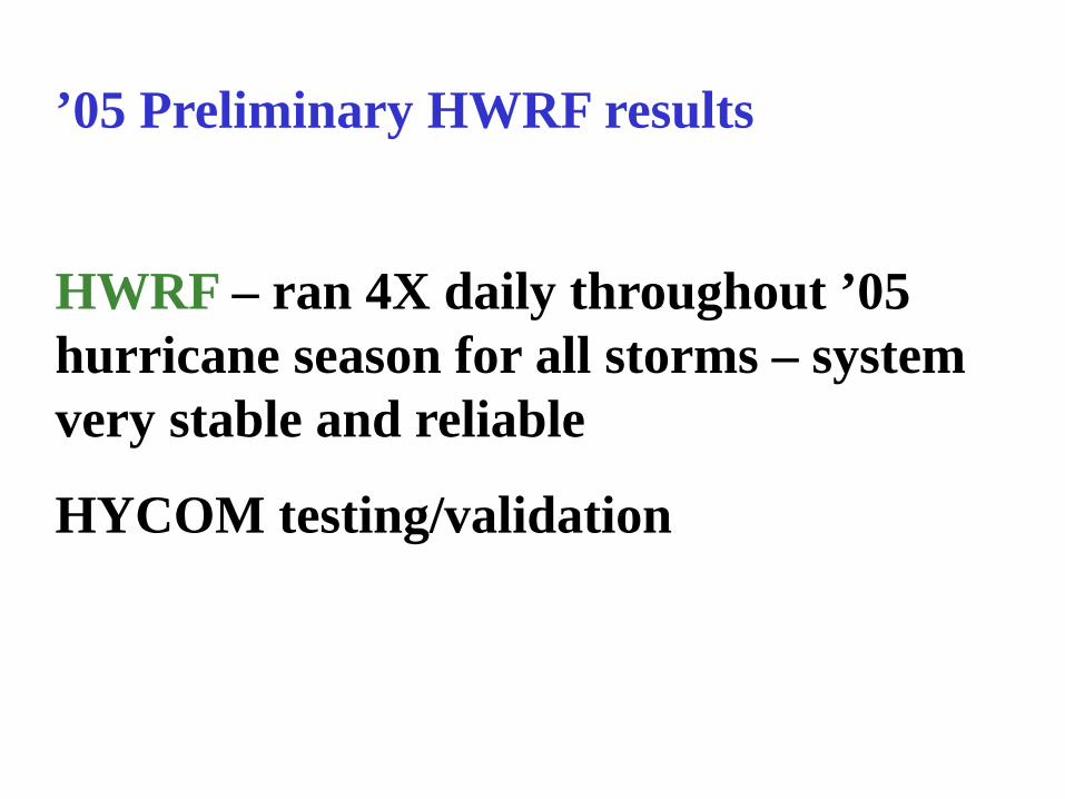
’05 Preliminary HWRF results
HWRF – ran 4X daily throughout ’05 hurricane season for all storms – system very stable and reliable
HYCOM testing/validation
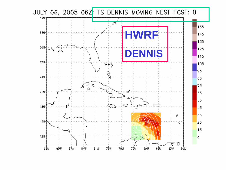
HWRF DENNIS
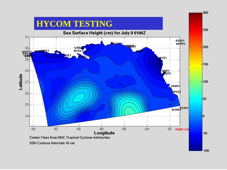
HYCOM TESTING
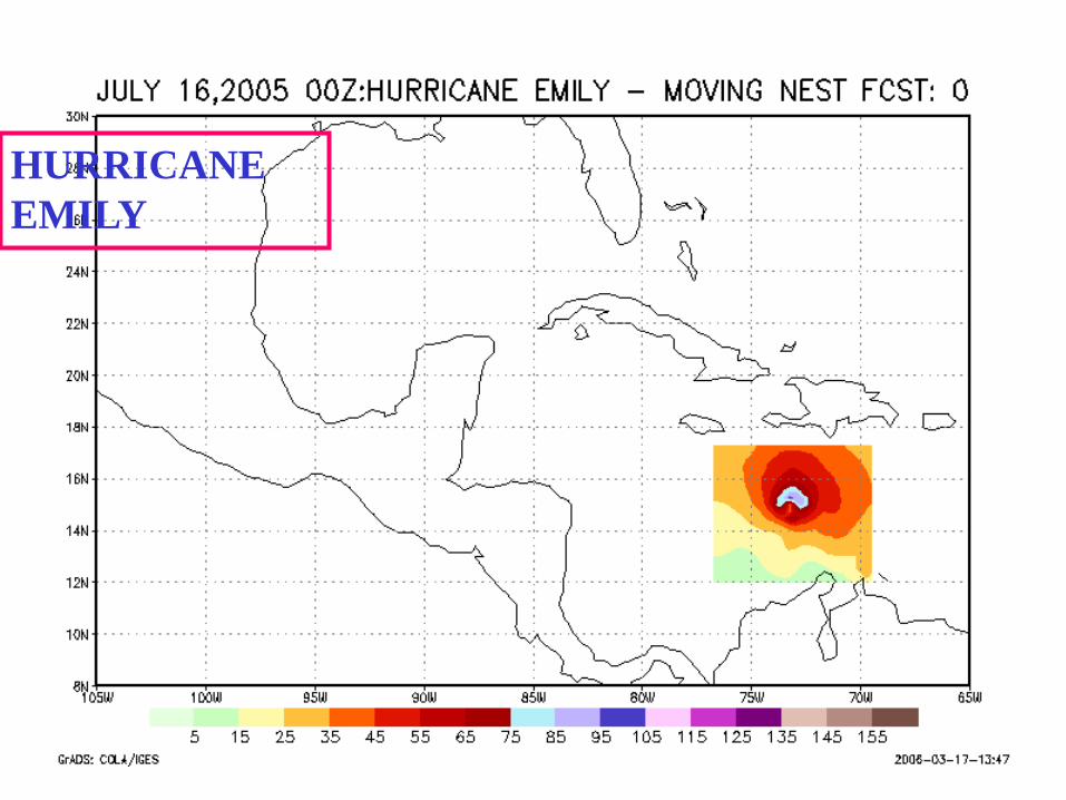
HURRICANE EMILY
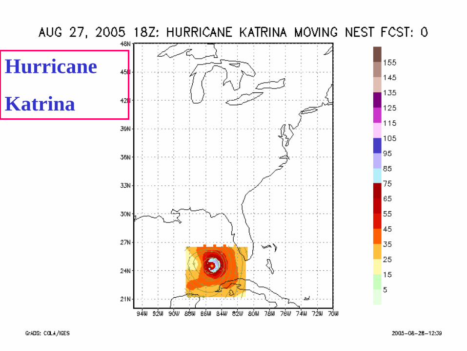
Hurricane
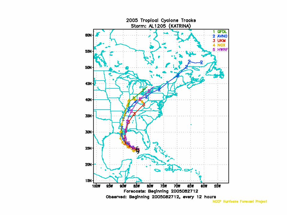
Katrina
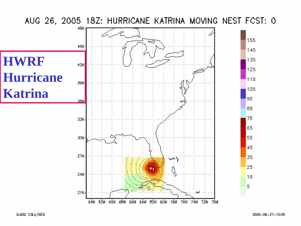
HWRF Hurricane Katrina
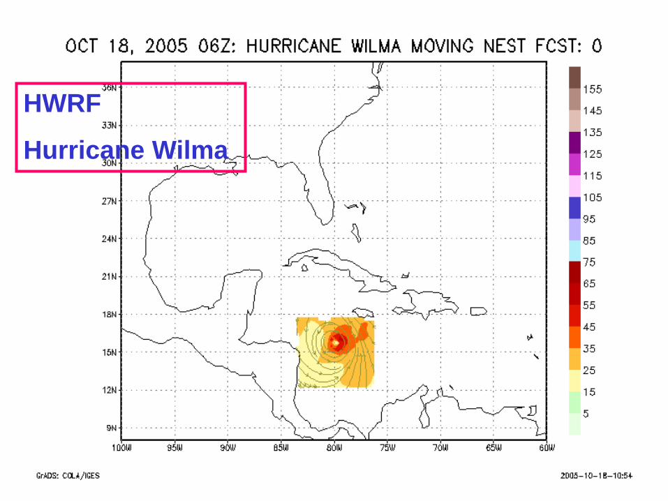
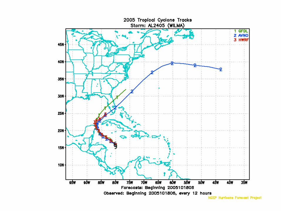
HWRF
Hurricane Wilma


For the ’06 hurricane season
Pre-op implementation testing of the HWRF
- Final transition of GFDL upgrades - Run HWRF - various configurations - 3-D var data assimilation of doppler winds for
hurricane initialization (will require tasking of P-3’s) Begin HWRF T&E for ’06 and previous two seasons for
extensions comparisons with GFDL

NOAA Aircraft in Hurricanes Need to develop op flight strategies for GIV and P-3’s
Two mission profiles: Environment & core
Observations: Dropsonde, AXBT’s, Radar
P-3 op core mission in ’07; GIV op core mission ’09
New NOAA paradigm: proposed NWS requirement for operational status of P-3; new mission for hurricane core winds (GIV IOC for core in ’09)
P-3 will be tasked this season to provide core obs for the HWRF 3-D var. Also, AXBT deployments
HWRF and the community
• Current release HWRF w/movable, nested grid (2-way)
• Updated physics • Future version: coupled HWRF system
to become available in autumn of ‘06
Most important of all…… EMC and TPC thank and congratulate the GFDL group for their outstanding and pioneering contributions over this past decade towards advancing hurricanes forecasts by bringing the best of R&D hurricane modeling into operations
Bob Tuleya
Morris Bender
Tim Marchok

THANK YOU
FOR YOUR
ATTENTION…
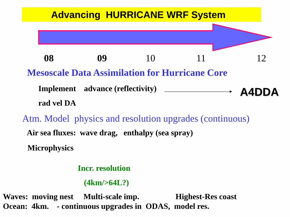
08 09 10 11 12
Implement advance (reflectivity)
rad vel DA
Mesoscale Data Assimilation for Hurricane Core
Advancing HURRICANE WRF System
Atm. Model physics and resolution upgrades (continuous) Air sea fluxes: wave drag, enthalpy (sea spray)
Microphysics
Incr. resolution
(4km/>64L?)
Waves: moving nest Multi-scale imp. Highest-Res coast Ocean: 4km. - continuous upgrades in ODAS, model res.
A4DDA
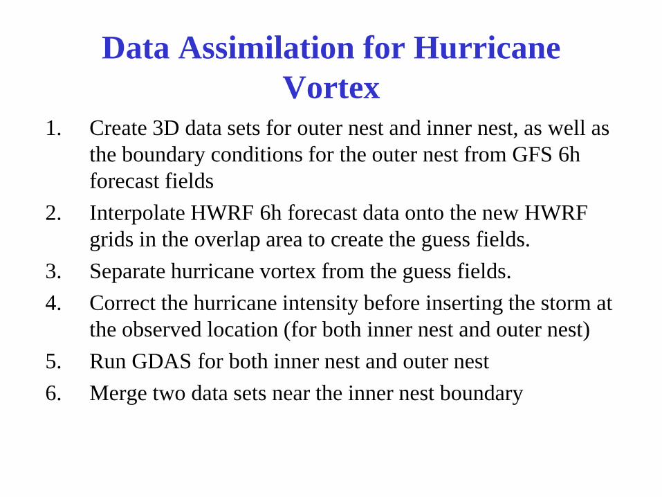
Data Assimilation for Hurricane Vortex
1. Create 3D data sets for outer nest and inner nest, as well as the boundary conditions for the outer nest from GFS 6h forecast fields
2. Interpolate HWRF 6h forecast data onto the new HWRF grids in the overlap area to create the guess fields.
3. Separate hurricane vortex from the guess fields. 4. Correct the hurricane intensity before inserting the storm at
the observed location (for both inner nest and outer nest) 5. Run GDAS for both inner nest and outer nest 6. Merge two data sets near the inner nest boundary
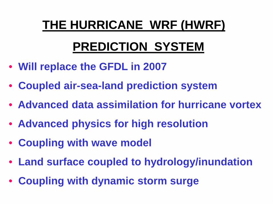
THE HURRICANE WRF (HWRF)
PREDICTION SYSTEM • Will replace the GFDL in 2007
• Coupled air-sea-land prediction system
• Advanced data assimilation for hurricane vortex
• Advanced physics for high resolution
• Coupling with wave model
• Land surface coupled to hydrology/inundation
• Coupling with dynamic storm surge

Development of Collaborations HWRF WORKSHOP – JUNE 2002 (EMC)
(45 attendees – estab. hurricane community)
1st HWRF TUTORIAL – Oct. 2004 (EMC)
(26 attendees – precocious hurr. modeling types)
AIR-SEA WORKSHOP – MAY 2005 (EMC)
(35 attendees – introduction of ocean community)
WRF/NMM Tutorial – Sept 2005 (JMT/Boulder)
the beginning of “formal” training
Evaluation of HYCOM
HYCOM configured for Atlantic (same as POM)
1/6 degree; same forcing
Initialization of Gulf Stream and loop current
Ongoing verification
Experiments with Dennis, Katrina storm surge