Adaptation to climate change - regjeringen.no
34
Adaptation to climate change Innspill til prosjektledelsen i Framtidens byers drøftingsmøte den 13 desember med C40 for å vurdere mulighetene for et nærmere samarbeid mellom nettverkene
Transcript of Adaptation to climate change - regjeringen.no

Adaptation to climate change
Innspill til prosjektledelsen i Framtidens byers drøftingsmøte den 13 desember med C40 for å vurdere mulighetene for et nærmere samarbeid mellom nettverkene
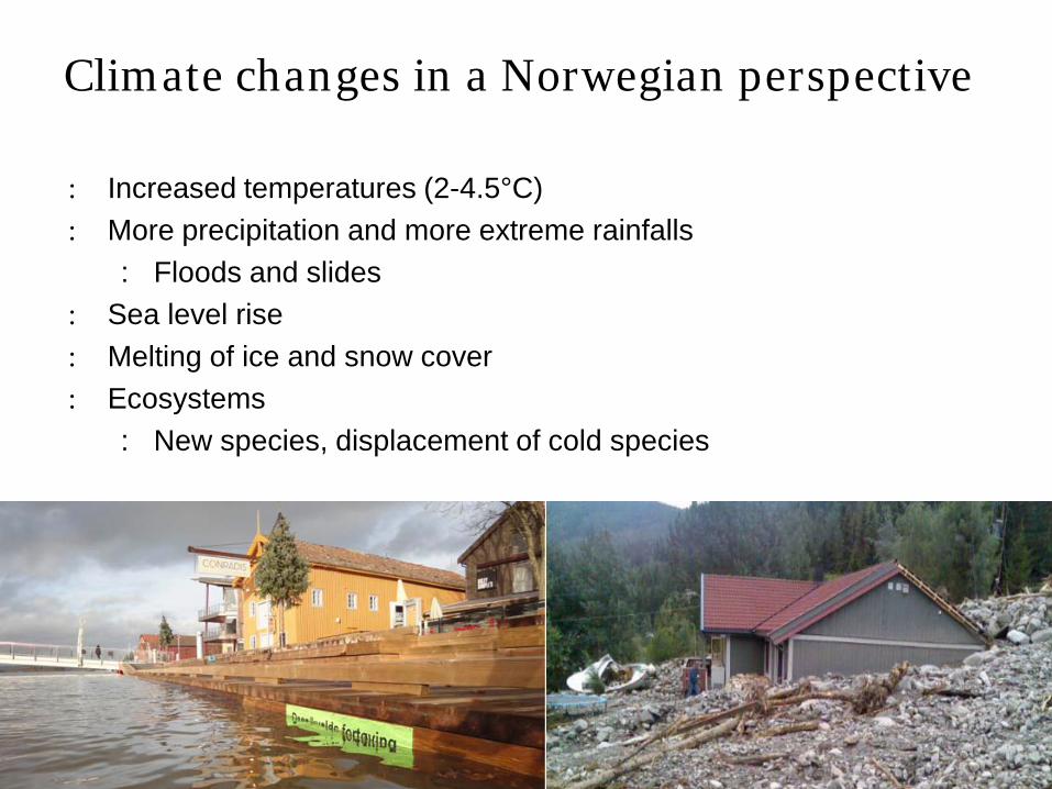
: Increased temperatures (2-4.5°C) : More precipitation and more extreme rainfalls
: Floods and slides : Sea level rise: Melting of ice and snow cover: Ecosystems
: New species, displacement of cold species
Climate changes in a Norwegian perspective

: Higher frequency of landslides and floods
: New areas exposed: More unpredictable: Urban floods and insufficient
drainage: Heavier rain will cause damage to
buildings
More frequent and heavier precipitation -consequences

Sea level rise
: Report first publishedOctober 2008
: Shows expected sea levels2050 and 2100 for all municipalities along thecoast
: Expected sea level variesaccording to land rise, ocean currents, and oceantemperature
: Main challenge: How to use this knowledge?
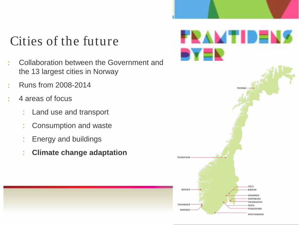
Cities of the future
: Collaboration between the Government and the 13 largest cities in Norway
: Runs from 2008-2014
: 4 areas of focus
: Land use and transport
: Consumption and waste
: Energy and buildings
: Climate change adaptation

Climate Adaptation
”Adjustment in natural or human systems in respons to actual or expected climatic stimuli or their effects, whichmoderates harm or exploits beneficial opportunities.”
The Intergovernmental Panel on Climate Change 2007

Adaptation to climate change when the program started in 2008
: Emission has traditionally had longer focus in Norway than adaptation. Adaptation to climate change were a rather new subject in many of the cities. Knowledge were needed.
: Some of the cities had risk and vulnerability assesments, climate and energy plans, flood risk maps, quick clay maps, minimum standards for building locations by the sea, GIS analysis and some participated in research programs on climate change adaptation.

Adaptation to climate change
• Sea level rise
• Floods and landslides
Randsfjorden, 12. aug 2008Randsfjorden, 12. aug 2008Tromsø, 2008Tromsø, 2008
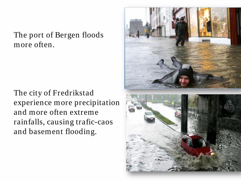
The port of Bergen floods more often.
The city of Fredrikstad experience more precipitation and more often extreme rainfalls, causing trafic-caos and basement flooding.

How can Cities of the future adapt to new climate conditions?
The main goal is to develope strategies for meeting climatechange.
The work shall lead to:• measurable results• examples of best practice for other municipalities• exchanging knowledge
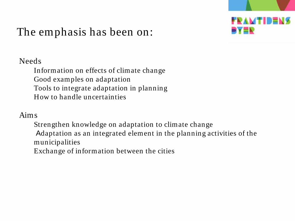
The emphasis has been on:
NeedsInformation on effects of climate changeGood examples on adaptationTools to integrate adaptation in planning How to handle uncertainties
AimsStrengthen knowledge on adaptation to climate changeAdaptation as an integrated element in the planning activities of the
municipalitiesExchange of information between the cities

Activities
: Action plans
: Nettwork, information on climate change on courses, conferanses, worshops
: Conferences and seminars, lections, visiting the cities, gathering together
: Learning by doing and sharing good ideas.
: Common goals and visions
: Agreements and areas of cooperation
www.framtidensbyer.no
www.klimatilpasning.no
Agreements and areas of collaboration
1. Visualizing climate change, KlimaGIS
2. Mapping vulnerability to climate change
3. Regionale nettwork
4. Climate projections
5. Sea level rise
6. Urban flooding
7. Integreting climate change adaptation in other network
www.framtidensbyer.no
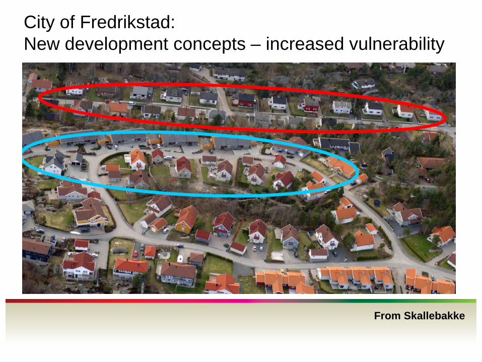
City of Fredrikstad: New development concepts – increased vulnerability
From Skallebakke
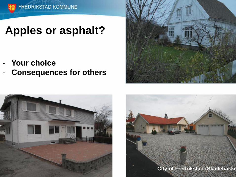
Apples or asphalt?
- Your choice- Consequences for others
City of Fredrikstad (Skallebakke

Three step strategy
From Skallebakke and NorskVann
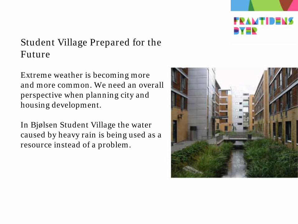
Student Village Prepared for the Future
Extreme weather is becoming more and more common. We need an overall perspective when planning city and housing development.
In Bjølsen Student Village the water caused by heavy rain is being used as a resource instead of a problem.
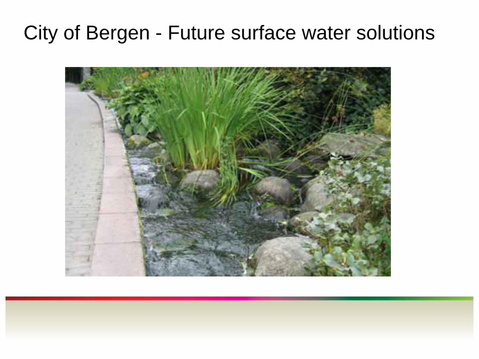
City of Bergen - Future surface water solutions
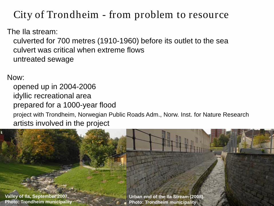
The Ila stream:culverted for 700 metres (1910-1960) before its outlet to the seaculvert was critical when extreme flowsuntreated sewage
Now:opened up in 2004-2006idyllic recreational areaprepared for a 1000-year floodproject with Trondheim, Norwegian Public Roads Adm., Norw. Inst. for Nature Researchartists involved in the project
Valley of Ila, September 2007. Photo: Trondheim municipality
Urban end of the Ila Stream (2008). Photo: Trondheim municipality
City of Trondheim - from problem to resource

Photo: Ministry of
City of Drammen – taking sea level rise into consideration
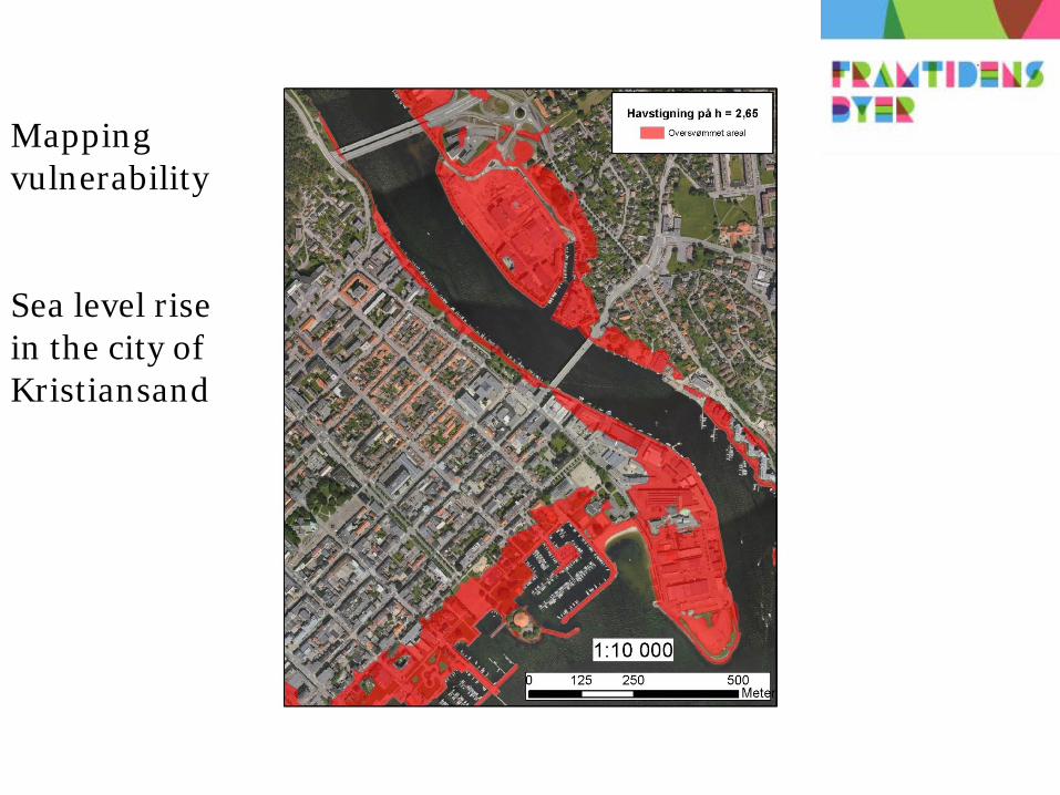
Mapping vulnerability
Sea level rise in the city of Kristiansand
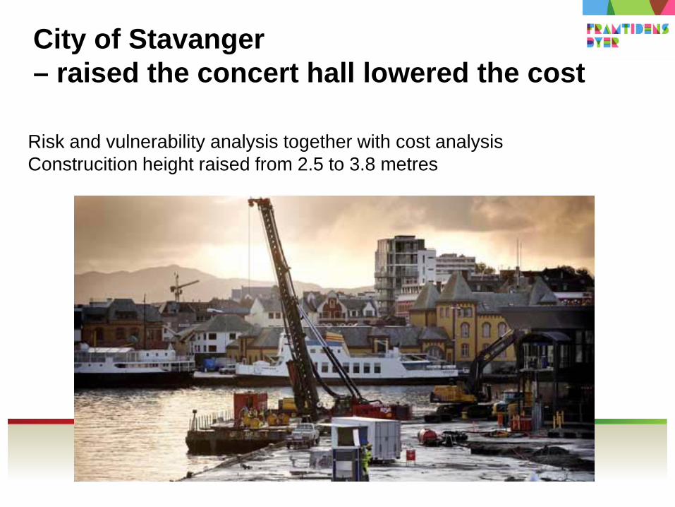
City of Stavanger – raised the concert hall lowered the cost
Risk and vulnerability analysis together with cost analysisConstrucition height raised from 2.5 to 3.8 metres

Norwegian Climate Adaptation Programme
: Interministerial coordination group – 13 ministries
: Led by the Ministry of Environment: Executive secretariate – Directorate for Civil Protection and
Emergency Planning
Activities
No changes in responsbilities – municipality/county levels
• Provide knowledge - website launched March 2009 www.klimatilpasning.no
• Climate change maps
• Handbook (guidelines)
• Course in climate change adaptation for development/emergencyplanners anc decision-makers at local level and regional level
• ’Cities of the Future’ project – 13 largest cities (covers 50 per cent oftotal population)
• Official Norwegian Report (2009-2010)

Et trygt og robust samfunn - der alle tar ansvar 25
Website – klimatilpasning.no
Information sharing:
Experiences
Best practices
Research
Specific issues
Guidelines
Climate maps
Target groups:
Local/regional planners
Decision-makers

Guidelines – Climate start

Courses at NUSB -
Arrange courses in:
Adaptation in social planning
(22-24.november)
Land planning and civil protection
(24-26.november)
Read more: www.nusb.no
National Emergency Planning College
Cities of the future
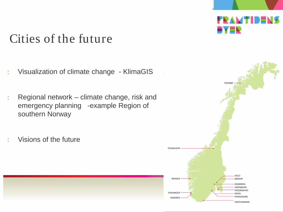
: Visualization of climate change - KlimaGIS
: Regional network – climate change, risk and emergency planning -example Region of southern Norway
: Visions of the future

Area of cooperation – KlimaGIS
A tool:to visualize the physicalimpacts of climate change
based on GIS technology and dynamic simulation used to visualize e.g. future sea levelrise.
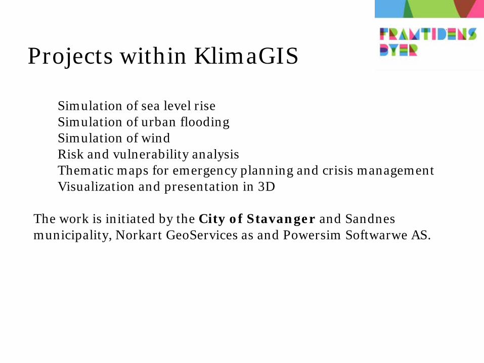
Projects within KlimaGIS
Simulation of sea level riseSimulation of urban flooding Simulation of wind Risk and vulnerability analysis Thematic maps for emergency planning and crisis management Visualization and presentation in 3D
The work is initiated by the City of Stavanger and Sandnes municipality, Norkart GeoServices as and Powersim Softwarwe AS.
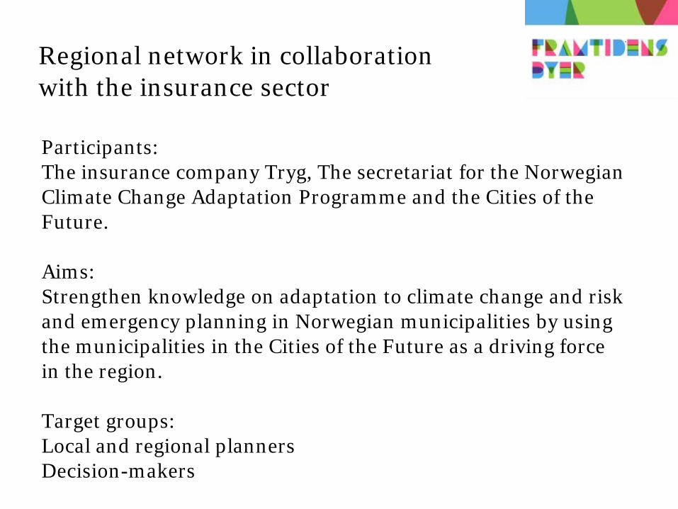
Regional network in collaboration with the insurance sector
Participants:The insurance company Tryg, The secretariat for the NorwegianClimate Change Adaptation Programme and the Cities of theFuture.
Aims:Strengthen knowledge on adaptation to climate change and risk and emergency planning in Norwegian municipalities by usingthe municipalities in the Cities of the Future as a driving forcein the region.
Target groups: Local and regional plannersDecision-makers

Insurance collaboration – activities:
Pilot project with the City of Kristiansand and 7 neighbouringmunicipalities
First step:Seminar on adaptation to climate change and risk and emergencyplanning. Presentation of adaptation tools, good examples and effectsof climate change.
Second step:Practical workshop using climate adaptation tools (urban floodingand adaptation in spatial planning).
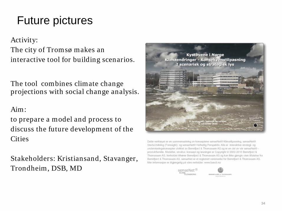
Future picturesActivity:The city of Tromsø makes aninteractive tool for building scenarios.
The tool combines climate changeprojections with social change analysis.
Aim:to prepare a model and process todiscuss the future development of theCities
Stakeholders: Kristiansand, Stavanger, Trondheim, DSB, MD
34