According to Mrs. Strotkamp. Mount McKinley (20,320 feet) Highest Point on North America!!!!
36
According to Mrs. Strotkamp
-
Upload
samuel-shepherd -
Category
Documents
-
view
216 -
download
0
Transcript of According to Mrs. Strotkamp. Mount McKinley (20,320 feet) Highest Point on North America!!!!
According to Mrs. Strotkamp
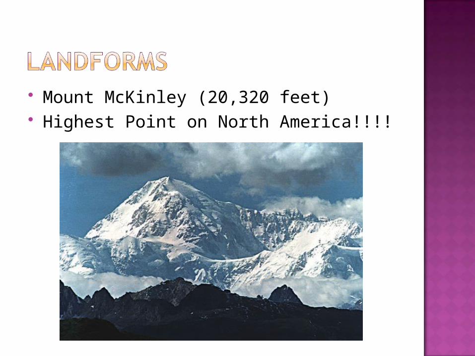
Mount McKinley (20,320 feet) Highest Point on North America!!!!
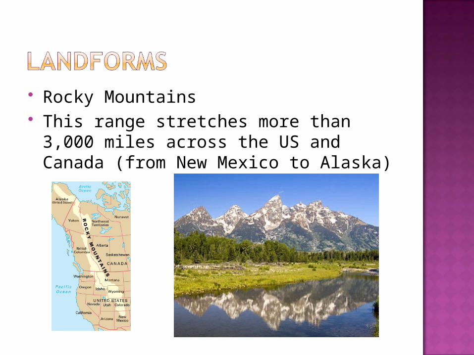
Rocky Mountains This range stretches more than 3,000
miles across the US and Canada (from New Mexico to Alaska)
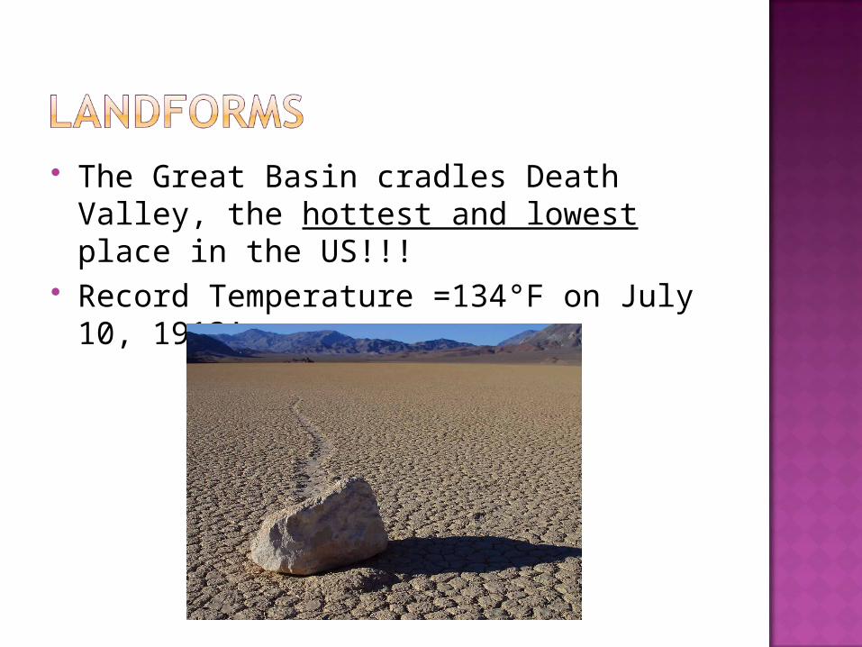
The Great Basin cradles Death Valley, the hottest and lowest place in the US!!!
Record Temperature =134°F on July 10, 1913!
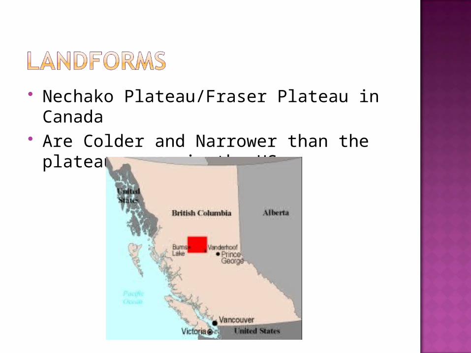
Nechako Plateau/Fraser Plateau in Canada
Are Colder and Narrower than the plateau areas in the US
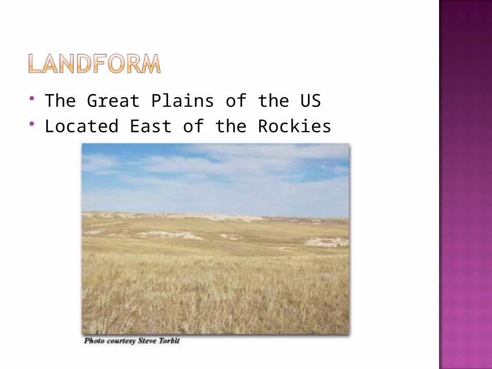
The Great Plains of the US Located East of the Rockies
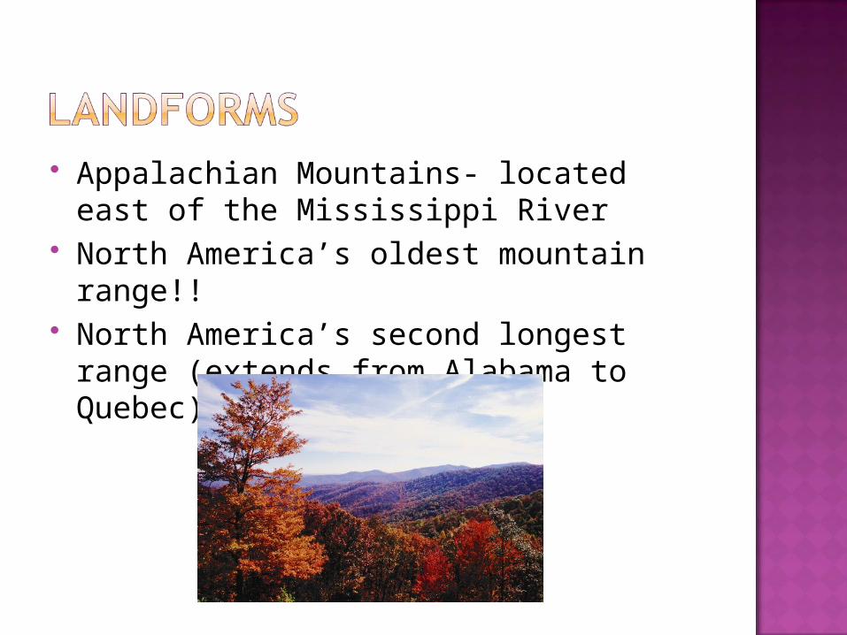
Appalachian Mountains- located east of the Mississippi River
North America’s oldest mountain range!!
North America’s second longest range (extends from Alabama to Quebec)!
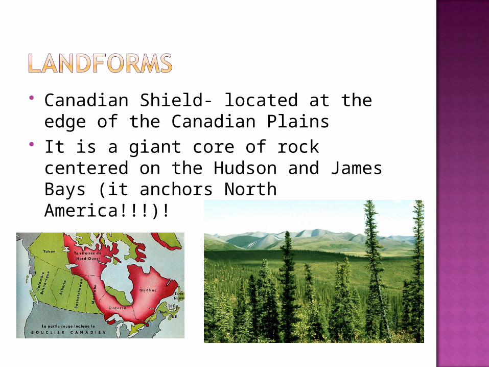
Canadian Shield- located at the edge of the Canadian Plains
It is a giant core of rock centered on the Hudson and James Bays (it anchors North America!!!)!

Manhattan Island (New York City) Major US and world economic center!!
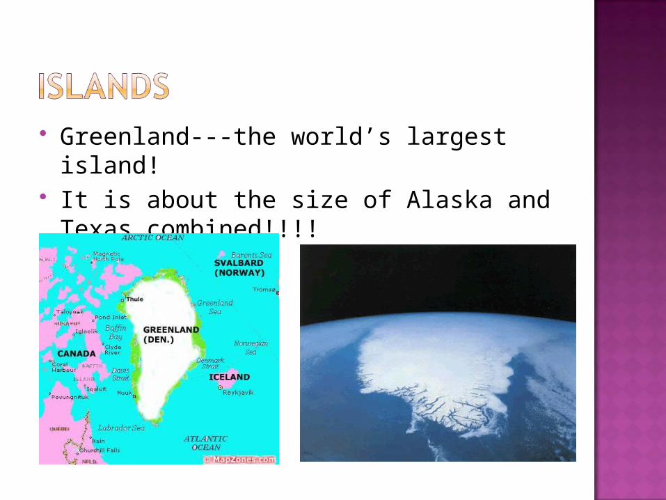
Greenland---the world’s largest island! It is about the size of Alaska and Texas
combined!!!!
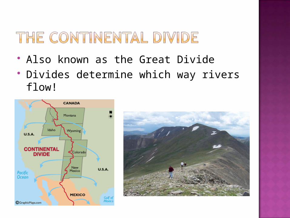
Also known as the Great Divide Divides determine which way rivers
flow!
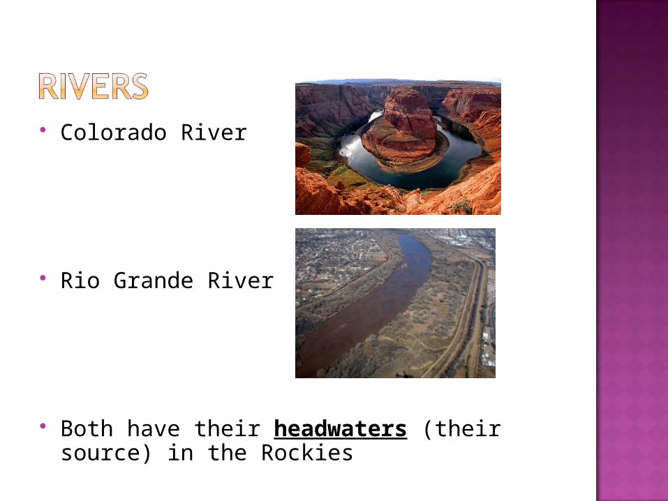
Colorado River
Rio Grande River
Both have their headwaters (their source) in the Rockies
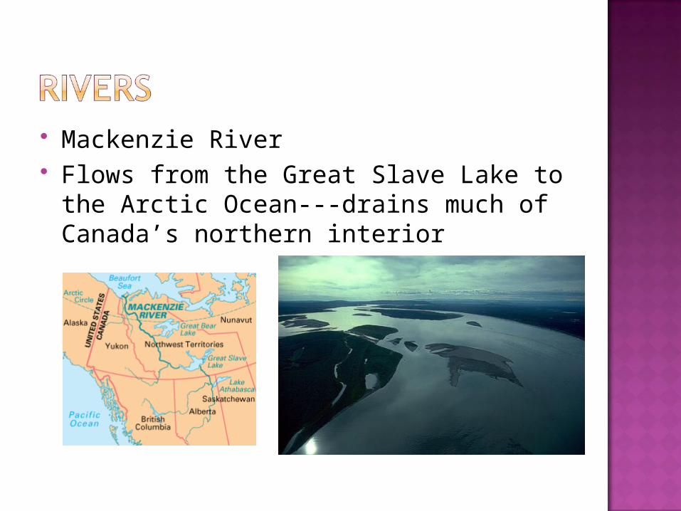
Mackenzie River Flows from the Great Slave Lake to the
Arctic Ocean---drains much of Canada’s northern interior
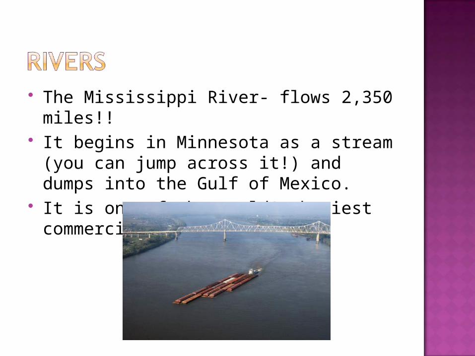
The Mississippi River- flows 2,350 miles!!
It begins in Minnesota as a stream (you can jump across it!) and dumps into the Gulf of Mexico.
It is one of the world’s busiest commercial ways!!!!
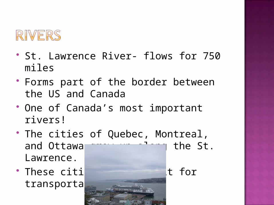
St. Lawrence River- flows for 750 miles Forms part of the border between the
US and Canada One of Canada’s most important rivers! The cities of Quebec, Montreal, and
Ottawa grew up along the St. Lawrence. These cities depend on it for
transportation!
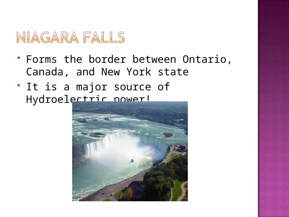
Forms the border between Ontario, Canada, and New York state
It is a major source of Hydroelectric power!
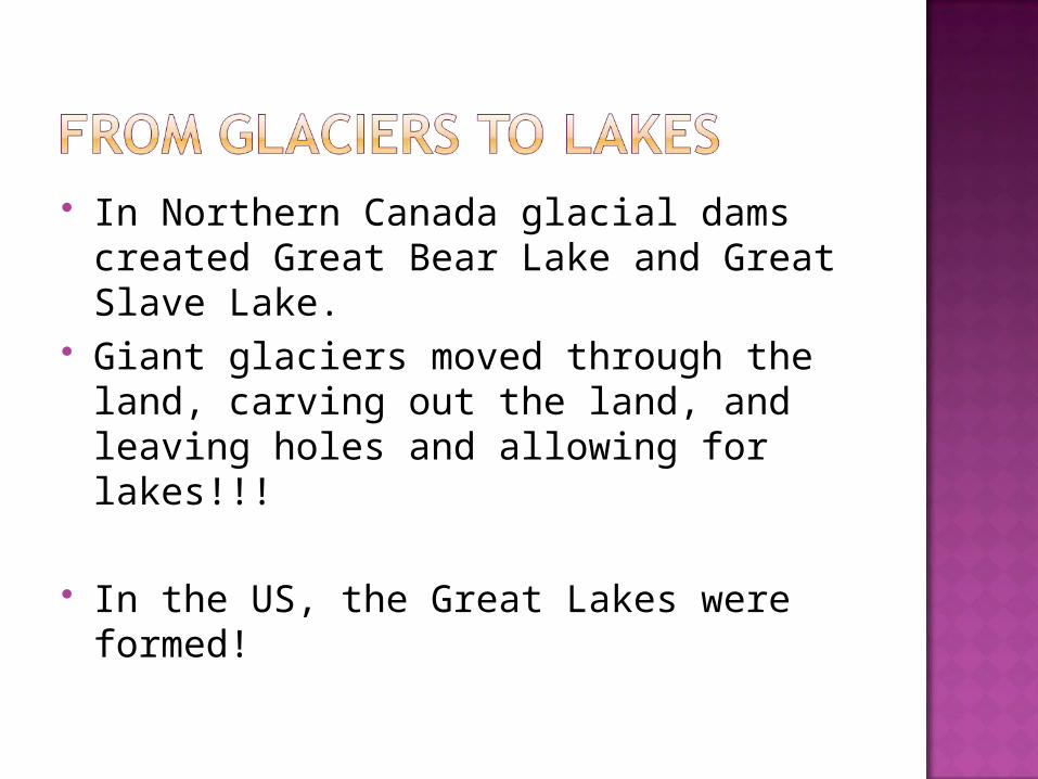
In Northern Canada glacial dams created Great Bear Lake and Great Slave Lake.
Giant glaciers moved through the land, carving out the land, and leaving holes and allowing for lakes!!!
In the US, the Great Lakes were formed!
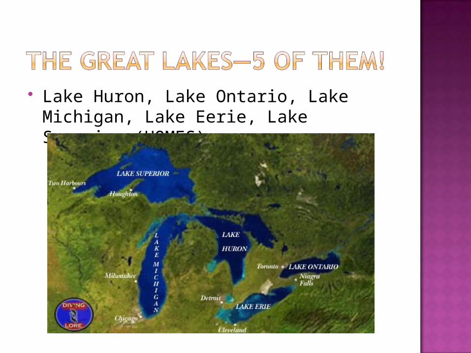
Lake Huron, Lake Ontario, Lake Michigan, Lake Eerie, Lake Superior (HOMES)
Rivers have provided links between inland areas and coastal waterways.
This has been crucial to economic development.
Helped make Chicago a powerful trade and industrial center!
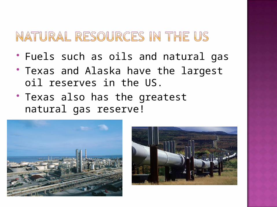
Fuels such as oils and natural gas Texas and Alaska have the largest oil
reserves in the US. Texas also has the greatest natural gas
reserve!
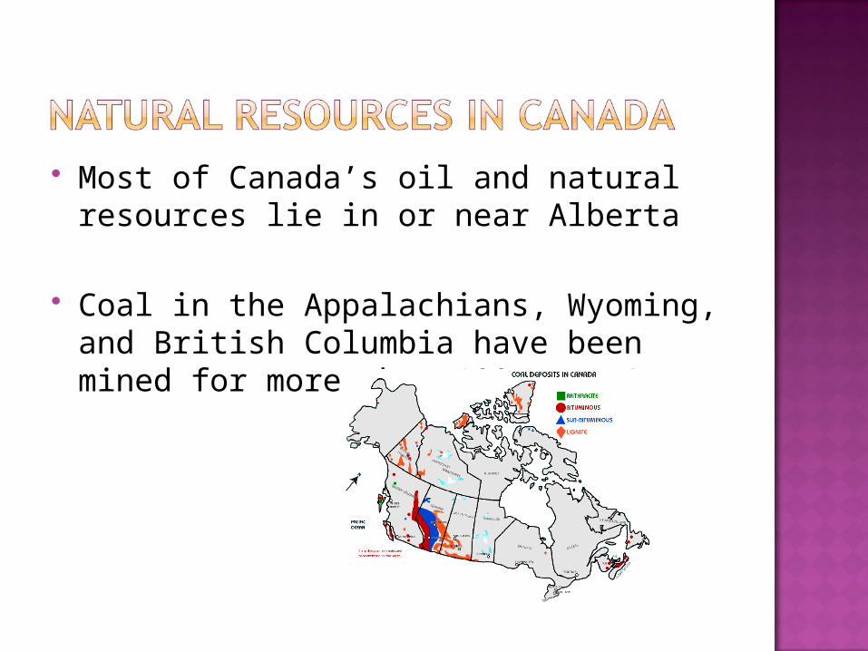
Most of Canada’s oil and natural resources lie in or near Alberta
Coal in the Appalachians, Wyoming, and British Columbia have been mined for more than 100 years!
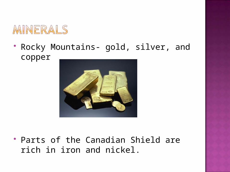
Rocky Mountains- gold, silver, and copper
Parts of the Canadian Shield are rich in iron and nickel.
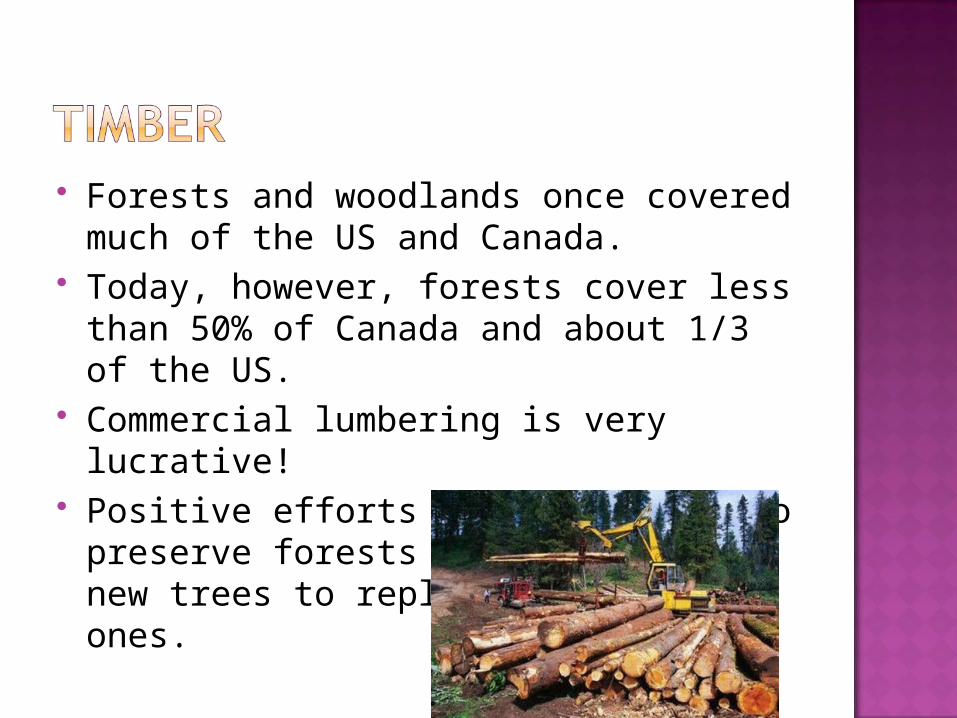
Forests and woodlands once covered much of the US and Canada.
Today, however, forests cover less than 50% of Canada and about 1/3 of the US.
Commercial lumbering is very lucrative! Positive efforts are being made to
preserve forests such as planting new trees to replace cut down ones.
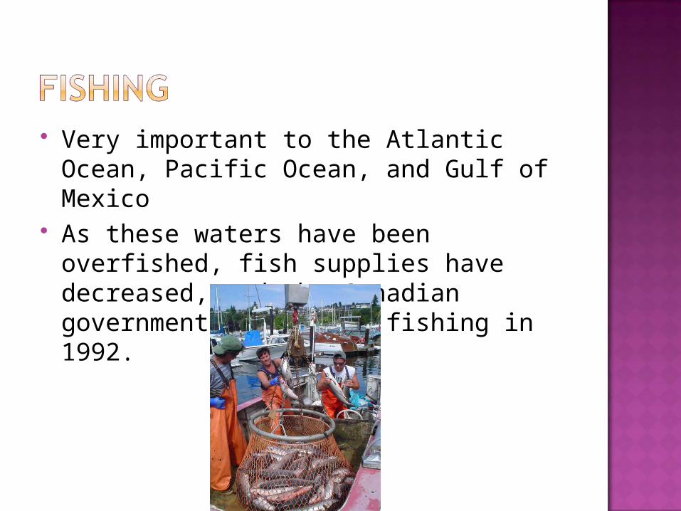
Very important to the Atlantic Ocean, Pacific Ocean, and Gulf of Mexico
As these waters have been overfished, fish supplies have decreased, and the Canadian government banned Cod fishing in 1992.
How did glaciers change the physical geography of the US and Canada?
What effects did these changes have on those regions’ developments?
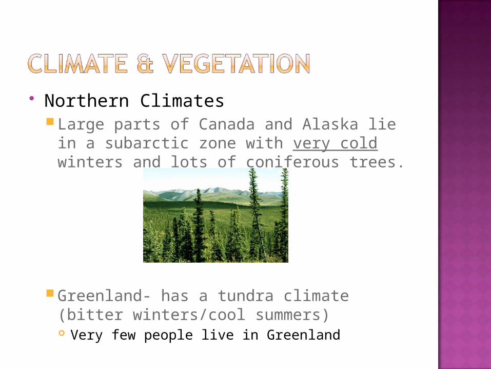
Northern ClimatesLarge parts of Canada and Alaska lie in a
subarctic zone with very cold winters and lots of coniferous trees.
Greenland- has a tundra climate (bitter winters/cool summers) Very few people live in Greenland
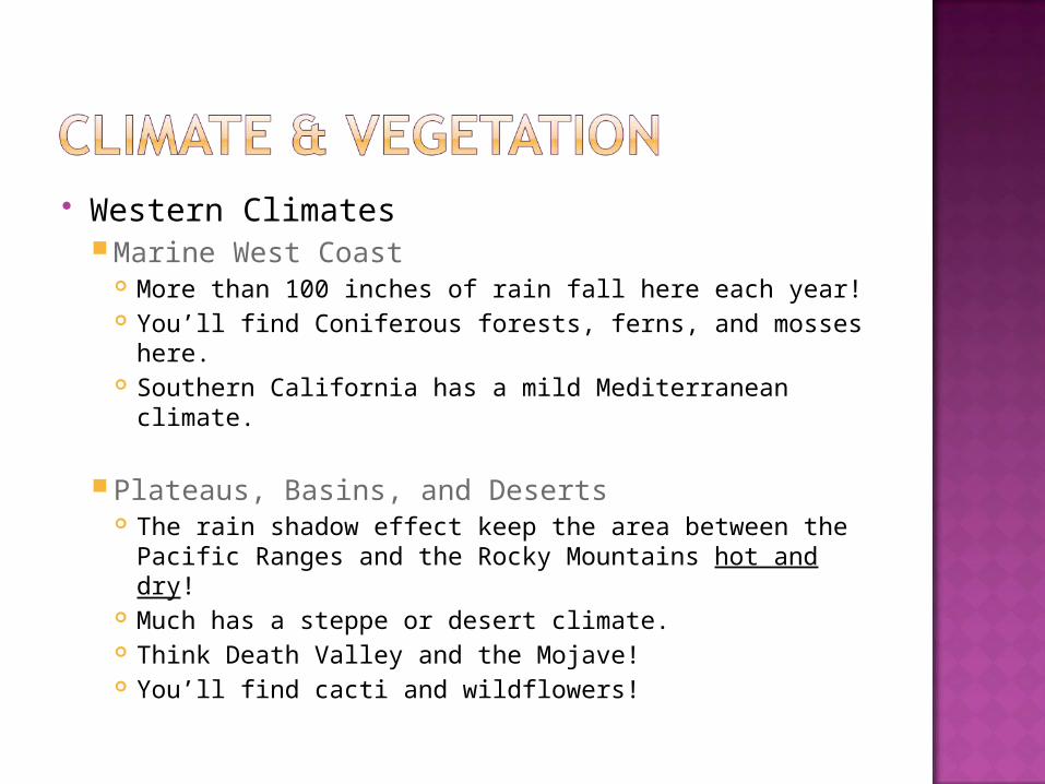
Western Climates Marine West Coast
More than 100 inches of rain fall here each year! You’ll find Coniferous forests, ferns, and mosses
here. Southern California has a mild Mediterranean
climate.
Plateaus, Basins, and Deserts The rain shadow effect keep the area between the
Pacific Ranges and the Rocky Mountains hot and dry!
Much has a steppe or desert climate. Think Death Valley and the Mojave! You’ll find cacti and wildflowers!
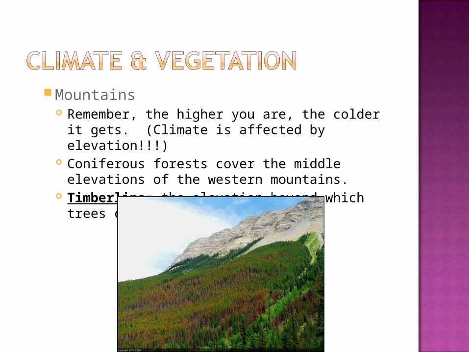
Mountains Remember, the higher you are, the colder it
gets. (Climate is affected by elevation!!!) Coniferous forests cover the middle elevations of
the western mountains. Timberline= the elevation beyond which trees
cannot grow.
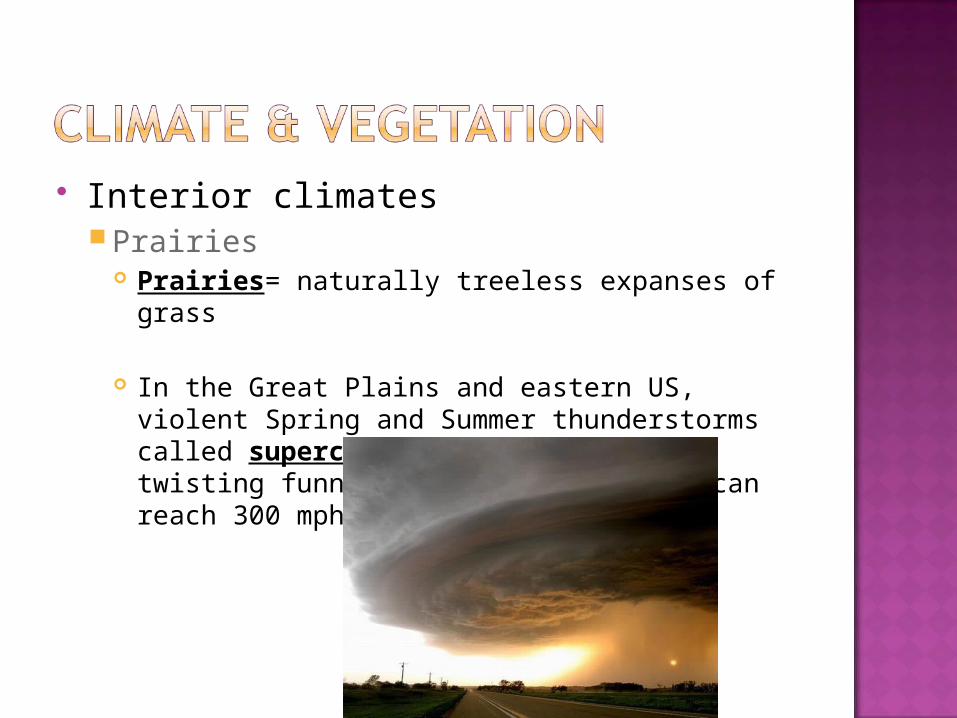
Interior climatesPrairies
Prairies= naturally treeless expanses of grass
In the Great Plains and eastern US, violent Spring and Summer thunderstorms called supercells spawn tornadoes, twisting funnels of air whose winds can reach 300 mph!
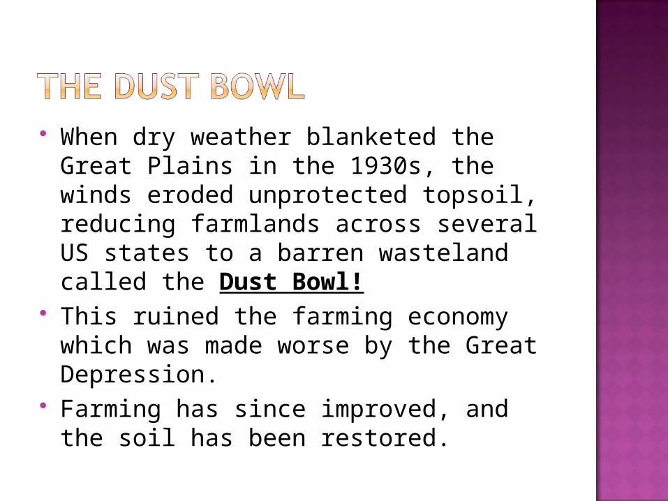
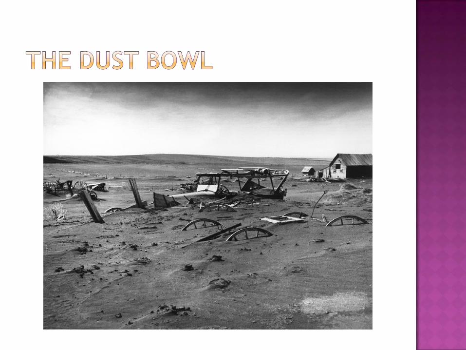
When dry weather blanketed the Great Plains in the 1930s, the winds eroded unprotected topsoil, reducing farmlands across several US states to a barren wasteland called the Dust Bowl!
This ruined the farming economy which was made worse by the Great Depression.
Farming has since improved, and the soil has been restored.
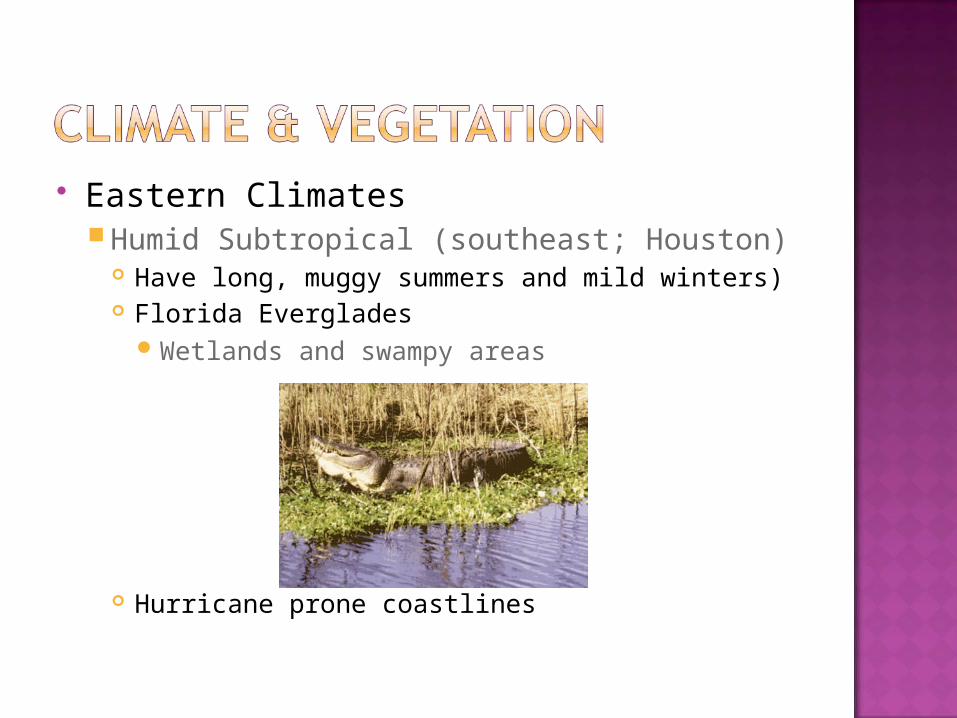
Eastern ClimatesHumid Subtropical (southeast; Houston)
Have long, muggy summers and mild winters) Florida Everglades
Wetlands and swampy areas
Hurricane prone coastlines
Eastern Climate (cont.)Humid continental climate
Extends from the northeastern US into southeastern Canada
In Canada, deciduous and mixed deciduous-coniferous forestland sweeps from Newfoundland into subarctic Yukon territory.
In the US, deciduous forests grow at the lower elevations in the south.
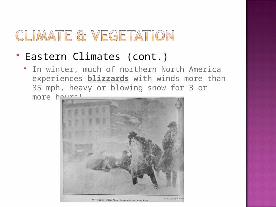
Eastern Climates (cont.) In winter, much of northern North America
experiences blizzards with winds more than 35 mph, heavy or blowing snow for 3 or more hours!
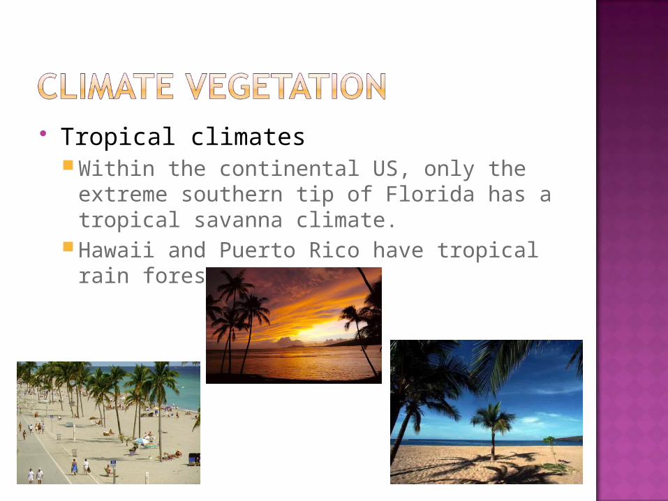
Tropical climatesWithin the continental US, only the extreme
southern tip of Florida has a tropical savanna climate.
Hawaii and Puerto Rico have tropical rain forests.
Describe and explain the environmental factors that have affected migration in the US and Canada.Consider climate and land features.