
A GIS Lesson. Only a hundred years ago, scientists thought that they understood the history of the...
14
A GIS Lesson
-
date post
19-Dec-2015 -
Category
Documents
-
view
214 -
download
1
Transcript of A GIS Lesson. Only a hundred years ago, scientists thought that they understood the history of the...
A GIS Lesson

Only a hundred years ago, scientists thought that they understood the history of the Earth and how it got to be the way it is.
But they still had a few questions
?
?
??
?

Why are most of the continents above the equator?
Why is the Pacific Ocean so large?
? ?
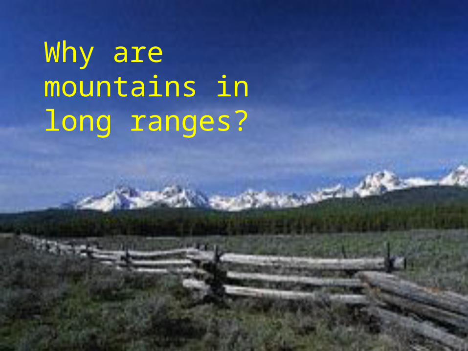
Why are mountains in long ranges?

and why are there long chains of volcanoes?

Alfred Wegener proposed an idea
in the early 1900’s
He said that all the continents used to be
together in one big chunk!
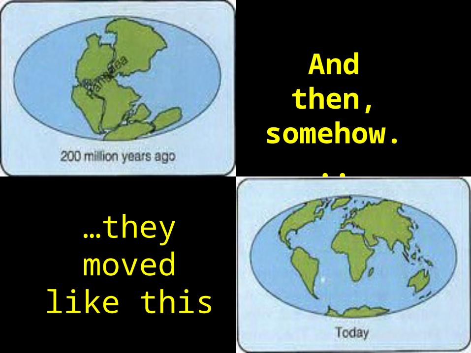
And then, somehow...
…they moved like this
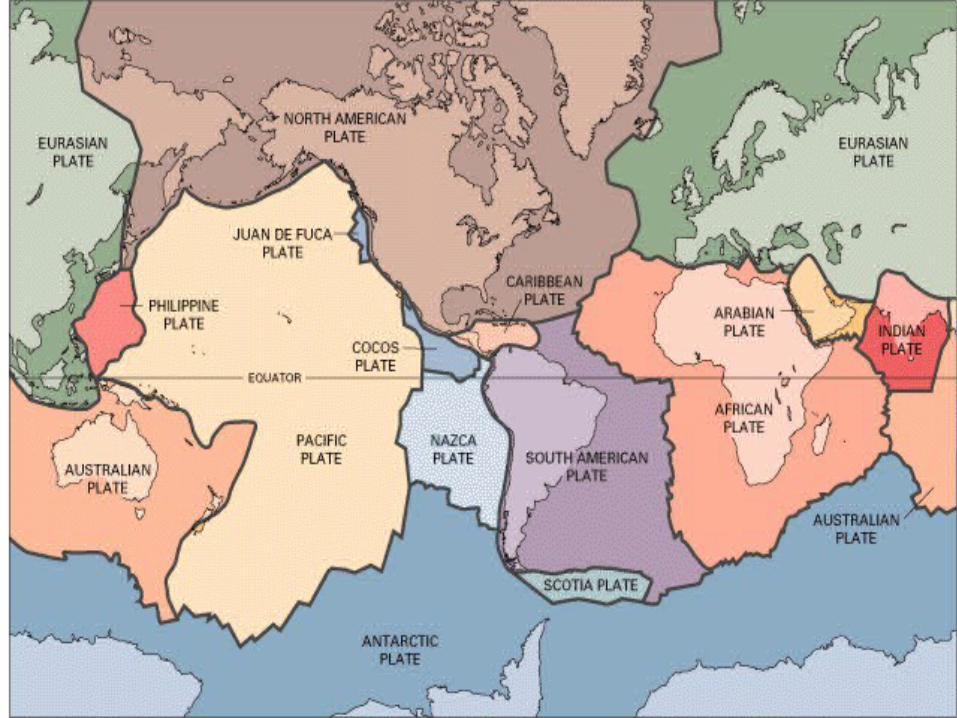

By the mid 1900’s scientist had collected lots of data but still had a hard
time believing the continents were on big
chunks!
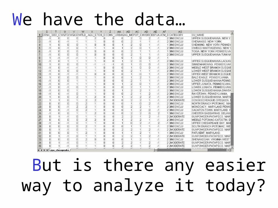
We have the data…
But is there any easier way to analyze it today?
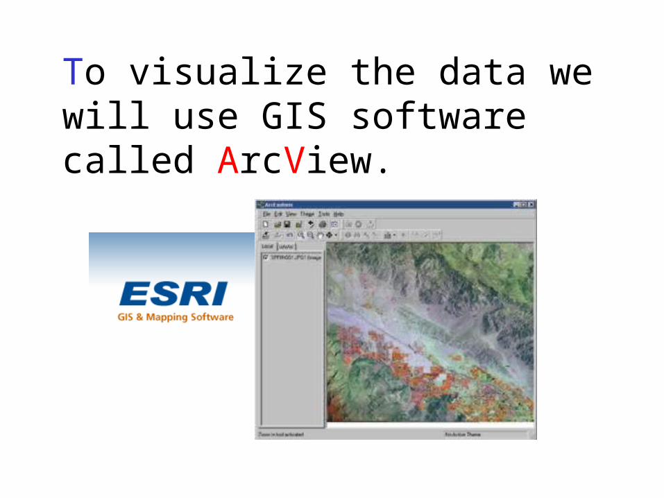
To visualize the data we will use GIS software called ArcView.

With GIS you can combine layers of information about a place to give you a better understanding of that place

Use your cursor and double click on the ArcView GIS icon…
Lets start investigating the theory of Plate Tectonics.

Credits
• Graphics used in this lesson were created using ArcView and ArcIms GIS software.
• Pictures are courtesy of USGS.


![Best Practices for MySQL with SSDs - samsung.com · Processing Performance Council (TPC) []. It is widely used and well understood, It is widely used and well understood, which enables](https://static.fdocuments.in/doc/165x107/5e0ee94b0290785a034a09f3/best-practices-for-mysql-with-ssds-processing-performance-council-tpc-it.jpg)