47 Case Study Bulldog Reserve
9
a.s.miner Geotechnical Consulting Engineers 50 Calder Street, Manifold Heights, VICTORIA 3218 Tel : 03.52294568 Mobile : 0438.294568 ABN 72 856 478 451 Email: [email protected] Corangamite Catchment Management Authority and the City of Greater Geelong A.S. Miner Geotechnical Case Study for Erosion and Landslides. Parks Victoria – Bulldog Reserve Report No: Prepared for Troy Clarkson Department of Primary Industries PO Box 103 Geelong, VIC 3220 and Leigh Dennis Corangamite Catchment Management Authority 64 Dennis Street Colac, VIC 3250
Transcript of 47 Case Study Bulldog Reserve

a.s.miner
Geotechnical Consulting Engineers
50 Calder Street, Manifold Heights, VICTORIA 3218 Tel : 03.52294568 Mobile : 0438.294568
ABN 72 856 478 451 Email: [email protected]
Corangamite Catchment Management Authority and the City of Greater Geelong
A.S. Miner Geotechnical
Case Study for Erosion and Landslides.
Parks Victoria – Bulldog Reserve
Report No:
Prepared for Troy Clarkson
Department of Primary Industries
PO Box 103
Geelong, VIC 3220
and
Leigh Dennis
Corangamite Catchment Management Authority
64 Dennis Street
Colac, VIC 3250
A.S. Miner Geotechnical Case Study for Erosion and Landslides
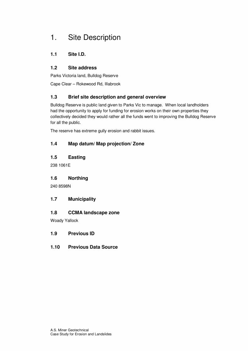
1. Site Description
1.1 Site I.D.
1.2 Site address
Parks Victoria land, Bulldog Reserve
Cape Clear – Rokewood Rd, Illabrook
1.3 Brief site description and general overview
Bulldog Reserve is public land given to Parks Vic to manage. When local landholders had the opportunity to apply for funding for erosion works on their own properties they collectively decided they would rather all the funds went to improving the Bulldog Reserve for all the public.
The reserve has extreme gully erosion and rabbit issues.
1.4 Map datum/ Map projection/ Zone
1.5 Easting
238 1061E
1.6 Northing
240 8598N
1.7 Municipality
1.8 CCMA landscape zone
Woady Yallock
1.9 Previous ID
1.10 Previous Data Source

A.S. Miner Geotechnical Case Study for Erosion and Landslides
2. Hazard Description
2.1 Soil degradation type
Soil erosion
2.2 Soil degradation sub-class
Gully erosion
2.3 Description of hazard present on site or threatening site from above or below
A extensive gully has actively eroding heads currently moving around 1ft/year even in dry seasons. The gully de-values a large area of public land and has recently moved into private property. Large amounts of sediment are being removed and most likely being deposited in the Illabrook Creek
2.4 Dimensions of Hazard (width, length and depth if appropriate)
The longest arm of the gully travels approx. 200m, is 15m wide and between 2 – 5 m deep
2.5 Extent of Hazard (spatial area and volume if appropriate)
There are two main areas of active gully erosion. Both covering approx. 0.6ha each.
2.6 Magnitude of hazard (travel distance or rate of occurrence)
Active gully heads are moving approx. 1ft /year even in dry conditions
2.7 List previous reports or studies relevant to this site
2.8 Custodian of previous reports and studies

A.S. Miner Geotechnical Case Study for Erosion and Landslides
3. The Event Has Already Occurred
3.1 Date of first occurrence
Unknown
3.2 Date of most recent re-activation or acceleration
Currently active
3.3 Actual or postulated trigger event including magnitude and duration
Rabbits are a current issues and may have been a trigger.
Soils are extremely poor and sodic
3.4 Frequency of Trigger Event if known
3.5 What damage or impact occurred?
Extensive loss of public land and reduced aesthetic value of Bulldog reserve. With the erosion now moving into private land there is also loss of agricultural land
3.6 Was there a risk of injury or loss of life?
Not a big risk although deep gullies can be dangerous when driving the area
3.7 How important was it?
Given that the hazard has begun to impact private land off-site the importance has risen.
3.8 What asset classes were impacted?
Water Quality – Illarbook creek
Land Use – Grazing land
Infrastructure – farm fencing and laneways
3.9 What asset sub classes were impacted?
Minor waterways through sediment deposition and water quality through increased turbidity =7.
Grazing land=5
3.10 What are the asset values?
Grazing land in this area is valued at a maxium of $1500 per acre.

A.S. Miner Geotechnical Case Study for Erosion and Landslides
3.11 How severely were assets impacted?
Grazing land (private land) was only impacted to a small extent.
Aesthetic value was greatly reduced and so value of public land would be greatly reduced.
3.12 Estimated cost of impact (including qualitative and quantitative costs for loss of asset, investigations, remedial works, cultural, business and environment)
Land in the Illabrook area is worth between $3600 - 4800/ha.
Using the lower end of the scale, the cost of the impact in the Bulldog Reserve would be approx. $72,000. (22ha at $3600/ha)

A.S. Miner Geotechnical Case Study for Erosion and Landslides
4. Remediation Has Already Been Undertaken
4.1 What remediation option was used?
Earthworks, revegetation and rabbit baiting.
Earthworks involved gully edging and compaction of approx. 5ha. Revegetation around the site involved direct seeding of 13.8ha and planting 1600 tube stock. Revegetation of the actual earthworks site will be done when moisture is available.
Rabbit ripping and baiting was also carried out on 22ha.
4.2 How was the site initially assessed?
Unknown
4.3 How was the remediation designed and by Who?
Neil James – DPI??
4.4 Did it require specialist equipment or subcontractors?
Contractors were required to carry out all earthworks.
Parks Vic staff carried out all tree planting and re-veg. work
4.5 How effective has the remediation been?
No rain has been received since works were completed so unknown at this stage
4.6 How was the effectiveness judged?
4.7 Would other treatments worked here?
Earthworks was really the only option to prevent the gully heads moving further into private land
4.8 Was it early intervention or reactive?
Definitely reactive
4.9 What was the cost of remediation (including design, construction and implementation)?
Parks Vic allocated $23,000 of in-kind contribution towards all revegetation done on site.
Salinity Action Program put $43,000 towards the whole project, $12,000 of which was budgeted towards earthworks on the gully erosion areas.
4.10 How was the remediation funded?
Through Parks Vic and SAP funds

A.S. Miner Geotechnical Case Study for Erosion and Landslides
5. Ongoing Review and Monitoring Requirements
5.1 What is the likely ongoing monitoring and review strategy?
5.2 What is the nature of future monitoring and maintenance?
5.3 What are the likely costs of monitoring and maintenance?

A.S. Miner Geotechnical Case Study for Erosion and Landslides
Photos
Photo 1 Jan. 2007 View looking north: This arm of the gully has moved into private land. The landholder completed works on the stretch of gully in his property which was approx. 150m long.
Photo 2 Feb. 2007shot taken of the above gully after works had been completed to fill in, batter and compact the gully.

A.S. Miner Geotechnical Case Study for Erosion and Landslides
Photos
Photo 3 Jan. 2007 Active gully erosion, photo taken looking east. Note tree guards in background showing tree planting which had already begun. Planting was done by Parks Vic staff.
Photo 4 Feb. 2007 After shot of the above gully head.