1 Spatial Data Infrastructure for Disaster Management in the US The 9 th International Seminar on...
38
1 Spatial Data Infrastructure Spatial Data Infrastructure for for Disaster Management in the Disaster Management in the US US The 9 The 9 th th International Seminar on GIS International Seminar on GIS 8 – 9 September 2004 8 – 9 September 2004 Seoul, Korea Seoul, Korea Alan Stevens, PhD Alan Stevens, PhD International Program Manager International Program Manager US Federal Geographic Data Committee US Federal Geographic Data Committee Global Spatial Data Infrastructure (GSDI) Global Spatial Data Infrastructure (GSDI) [email protected] [email protected] +703-648-5119 +703-648-5119
-
Upload
solomon-jenkins -
Category
Documents
-
view
213 -
download
0
Transcript of 1 Spatial Data Infrastructure for Disaster Management in the US The 9 th International Seminar on...

1
Spatial Data InfrastructureSpatial Data Infrastructure forfor
Disaster Management in the USDisaster Management in the US
The 9The 9thth International Seminar on GIS International Seminar on GIS8 – 9 September 20048 – 9 September 2004
Seoul, KoreaSeoul, Korea
Alan Stevens, PhDAlan Stevens, PhDInternational Program ManagerInternational Program Manager
US Federal Geographic Data CommitteeUS Federal Geographic Data CommitteeGlobal Spatial Data Infrastructure (GSDI) Global Spatial Data Infrastructure (GSDI)
[email protected][email protected]+703-648-5119+703-648-5119

2
GeographyGeography: :
To Advance Business & To Advance Business & Government Using …….Government Using …….
The Power of “Place” to Support The Power of “Place” to Support
Decision MakingDecision Making

3
How do we make decisions on these
critical issues?• Reducing crimeReducing crime• Enhancing public Enhancing public
safetysafety• Containing costsContaining costs• Homeland Homeland
SecuritySecurity
• Managing growthManaging growth• Improving Improving
accountabilityaccountability• Disaster mgt.Disaster mgt.• Protecting the Protecting the
environmentenvironment

4
What if there was a tool that could integrate data from
diverse sources — and visually analyze data
to support decision making — many times faster than
any other tool?
What if there was a tool that could integrate data from
diverse sources — and visually analyze data
to support decision making — many times faster than
any other tool?

5
Geographic Information Systems (GIS)
Geographic Information Systems (GIS)
Giving decision-makers the power to make more informed decisions.
Giving decision-makers the power to make more informed decisions.

6Imagery
Elevation
Geodetic Control
Boundaries
Surface Waters
Transportation
Land Ownership
Other Thematic DataOther Thematic DataBase DataBase Data
Relationships Among DataRelationships Among DataBuild Once, Use Many TimesBuild Once, Use Many TimesRelationships Among DataRelationships Among Data
Build Once, Use Many TimesBuild Once, Use Many Times
Gas Lines
Sewer Lines
Water Lines
Power Grid
Demographics
Flood Zones

11
To make informed decisions, we have to gather the right
information.
To make informed decisions, we have to gather the right
information.…using the best data available.
…using the best data available.
Watershed Management Area 6Upper Passaic - Whippany - Rockaway Watershed
New Urban/Built-Up Land in Relationto State Planning Areas
Planning Area TotalAcres
Acres of NewUrban/Built-
Up
Percent of PA isNew Urban/Built-
Up
Percent of NewUrban/Built -
Up
Metropolitan Planning Area (PA 1) 92,892.252 3,362.921 3.6% 40.9%Suburban Planning Area (PA 2) 26,664.177 1826.218 6.8% 22.2%Fringe Planning Area (PA 3) 10,441.724 646.827 6.2% 7.9%Rural Planning Area (PA 4) 1.943 0.000 0.0% 0.0%Environ. Sensitive Planning Area (PA 5) 84,867.534 2331.359 2.7% 28.4%Military Lands 6,026.724 1.706 0.0% 0.0%Parks 14,533.009 48.865 0.3% 0.6%Open Water 793.776 2.004 0.3% 0.0%
Totals 236,221.140 8,219.90 3.5% 100%
State Planning AreasMetropolitan Planning Area (PA1)Suburban Planning Area (PA2)Fringe Planning Area (PA3)Rural Planning Area (PA4)Envir. Sensitive Planning Area (PA 5)MilitaryParkWater
New Urban Lands 1986-1995
Percent New Urban/Built-Up Land Per State Planning Area
PA141%
PA222%
PA48%
PA529%
-20000
0
20000
40000
60000
80000
100000
120000
Ac
rea
ge
Watershed Management Area 6 (WMA6)Whippany-Upper Passiac-Rockaway Watershed
Land Use /Land Cover Change,1986-1995
Draft Results
1986 Acres 6145.088 1646.023 84530.739 95994.809 6750.856 41153.568
1995 Acres 4795.853 2085.018 78449.861 103764.238 6788.643 40337.470
Net Change -1349.235 438.995 -6080.878 7769.429 37.787 -816.098
Percent Change -21.96% 26.67% -7.19% 8.09% 0.56% -1.98%
Agriculture Barren Land Forest Urban Land Open Water Wetlands

12
Realities Among DataRealities Among Data
Relevant data is often hard to find and in Relevant data is often hard to find and in incompatible forms.incompatible forms.
Information describing data is often non-Information describing data is often non-existent.existent.
Framework data does not exist for broad Framework data does not exist for broad geographic areas.geographic areas.
Data sharing across organizations is Data sharing across organizations is inconsistent.inconsistent.

13
So What do we need???So What do we need???
Common languageCommon language Common reference systemCommon reference system Common frameworkCommon framework Spatial Data Infrastructure (SDI)Spatial Data Infrastructure (SDI)
… … a National Spatial Data a National Spatial Data InfrastructureInfrastructure

14
So how does the FGDC and the NSDI fit into the picture???
So how does the FGDC and the NSDI fit into the picture???
Federal Geographic Data Committee (FGDC)Federal Geographic Data Committee (FGDC) National Spatial Data Infrastructure (NSDI)
… and how does this all fit into Homeland Security?
Federal Geographic Data Committee (FGDC)Federal Geographic Data Committee (FGDC) National Spatial Data Infrastructure (NSDI)
… and how does this all fit into Homeland Security?

15
Create a National Spatial Data Infrastructure (NSDI) ………
Create a National Spatial Data Infrastructure (NSDI) ………
To encourage the collection, processing, To encourage the collection, processing, archiving, integrating, and sharing of archiving, integrating, and sharing of geospatial data and information using geospatial data and information using common standardscommon standards and and interoperable interoperable systems and techniquessystems and techniques
….. and accessible via the web

Core Components of the Core Components of the NSDINSDI
Partnerships
MetadataMetadata
GEOdataGEOdata
Clearinghouse (catalog)Clearinghouse (catalog)
FrameworkFramework
StandardsStandards

17
The Federal Geographic DataCommittee …. What is it??
The Federal Geographic DataCommittee …. What is it??
Formed about 1990 to promote the development and implementation of the National Spatial Data Infrastructure (NSDI)
Formed about 1990 to promote the development and implementation of the National Spatial Data Infrastructure (NSDI)
18
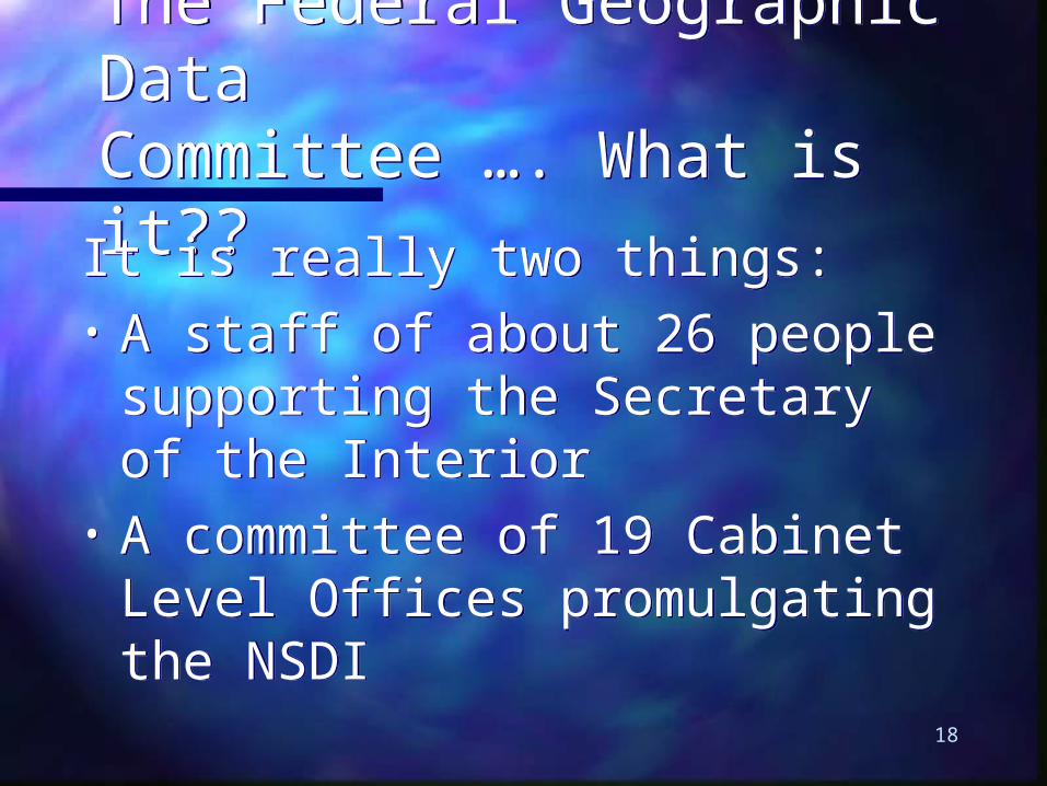
The Federal Geographic DataCommittee …. What is it??
The Federal Geographic DataCommittee …. What is it??It is really two things: • A staff of about 26 people
supporting the Secretary of the Interior
• A committee of 19 Cabinet Level Offices promulgating the NSDI
It is really two things: • A staff of about 26 people
supporting the Secretary of the Interior
• A committee of 19 Cabinet Level Offices promulgating the NSDI

19
FGDC Steering CommitteeFGDC Steering CommitteeCabinet Officers and Agencies:Cabinet Officers and Agencies:
– Interior (Vice Interior (Vice Chair)Chair)
– AgricultureAgriculture– DefenseDefense– EnergyEnergy– HHSHHS– HUDHUD– JusticeJustice– StateState– TransportationTransportation
– EPA EPA – Emergency MgtEmergency Mgt– Library of Library of
CongressCongress– NASANASA– Archives Archives – OMB (Vice Chair)OMB (Vice Chair)– CommerceCommerce– NSFNSF– TVATVA– GSAGSA

20
What does the FGDC do……?What does the FGDC do……?It builds It builds alliancesalliances to: to: What does the FGDC do……?What does the FGDC do……?It builds It builds alliancesalliances to: to:
Address institutional Address institutional barriersbarriers Identify and developIdentify and develop policy changes policy changes Identify Identify most effective waysmost effective ways to collect, to collect,
maintain and distribute data maintain and distribute data Designate Designate data stewardsdata stewards ReachReach consensus on framework consensus on framework

21
What does the FGDC do……?What does the FGDC do……?It builds alliances to:It builds alliances to: What does the FGDC do……?What does the FGDC do……?It builds alliances to:It builds alliances to:
Encourage Encourage metadatametadata creation creation ClearinghouseClearinghouse development development Encourage the use Encourage the use common standardscommon standards and and
participation in national and international participation in national and international standards committeesstandards committees
Seek Seek new partnersnew partners Develop incentivesDevelop incentives for participants for participants Etc…….Etc…….

22
What does the FGDC do……?What does the FGDC do……?It builds alliances to:It builds alliances to: What does the FGDC do……?What does the FGDC do……?It builds alliances to:It builds alliances to:
‘‘The Carrot and the Stick’The Carrot and the Stick’ Building policy Building policy
…………………………..is like ..is like the stickthe stick Creating incentivesCreating incentives
…………………………..is ..is the carrotthe carrot
Community Agreements ProgramCommunity Agreements Program
……..CAP Grant program -- the carrot..CAP Grant program -- the carrot

23
The Federal Geographic DataCommittee …. what’s new?
The Federal Geographic DataCommittee …. what’s new?
• Major focus within the Federal Major focus within the Federal GovernmentGovernment
• An effort to reach into states and An effort to reach into states and communitiescommunities
• Need a sustained effort to drive the Need a sustained effort to drive the concept and application to the states concept and application to the states and local governmentsand local governments

29
The Federal Geographic DataCommittee …. what’s new?
The Federal Geographic DataCommittee …. what’s new?
Geospatial One-StopGeospatial One-Stop–E-govE-gov–E-comE-com
FGDC Future DirectionsFGDC Future Directions
Geospatial One-StopGeospatial One-Stop–E-govE-gov–E-comE-com
FGDC Future DirectionsFGDC Future Directions
32
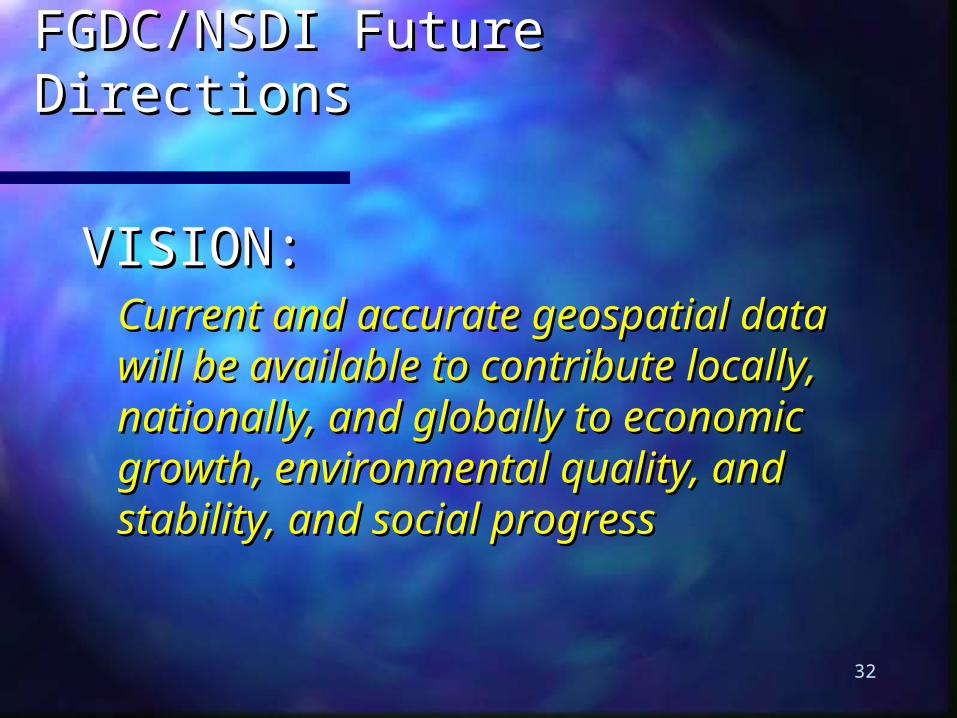
FGDC/NSDI Future DirectionsFGDC/NSDI Future Directions
VISION:VISION:Current and accurate geospatial Current and accurate geospatial data will be available to contribute data will be available to contribute locally, nationally, and globally to locally, nationally, and globally to economic growth, environmental economic growth, environmental quality, and stability, and social quality, and stability, and social progressprogress

33
FGDC/NSDI Future DirectionsFGDC/NSDI Future Directions
1. Forging partnerships with 1. Forging partnerships with a purposea purpose
Expand the governance Expand the governance modelmodel

34
FGDC/NSDI Future DirectionsFGDC/NSDI Future Directions
2. Making framework real2. Making framework real
……generating framework data generating framework data themes that will include themes that will include collection, documentation, collection, documentation, access, and utilization of data.access, and utilization of data.

35
FGDC/NSDI Future DirectionsFGDC/NSDI Future Directions
3. 3. Communicating the MessageCommunicating the Message
……recognized across the nation as recognized across the nation as the primary source for the the primary source for the availability and use of reliable availability and use of reliable spatial dataspatial data
36
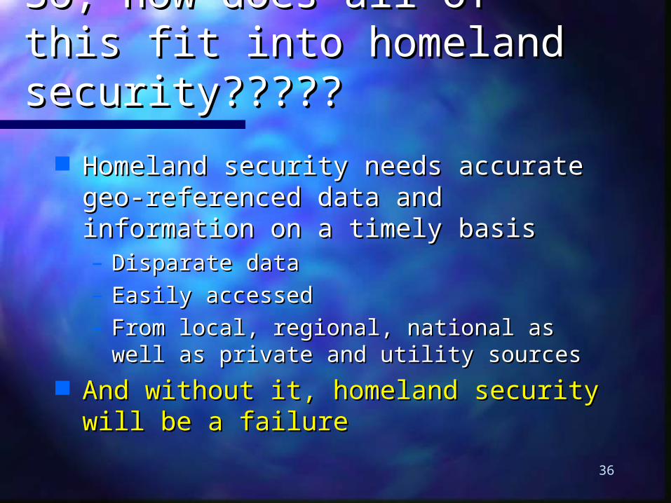
So, how does all of this fit So, how does all of this fit into homeland into homeland security?????security?????
Homeland security needs accurate geo-Homeland security needs accurate geo-referenced data and information on a referenced data and information on a timely basistimely basis– Disparate dataDisparate data– Easily accessed Easily accessed – From local, regional, national as well as From local, regional, national as well as
private and utility sourcesprivate and utility sources And without it, homeland security will And without it, homeland security will
be a failurebe a failure

37
Accurate, comprehensive Accurate, comprehensive data are at the heart of data are at the heart of information technology information technology
…….and geographic location is the key.and geographic location is the key
feature in 80-90% of all government feature in 80-90% of all government and and
utility data/informationutility data/information

38
Why is Geospatial data so Why is Geospatial data so critical?critical?
It is an invaluable tool for handling, It is an invaluable tool for handling, displaying, and analysis for:displaying, and analysis for:• DetectionDetection• PreparednessPreparedness• PreventionPrevention• ProtectionProtection• Response and recoveryResponse and recovery

40
The FGDC already has The FGDC already has ……..……..
• Well established network with federal Well established network with federal , state, local, tribal, and related , state, local, tribal, and related partners to collect framework datapartners to collect framework data
• Existing clearinghouse network for Existing clearinghouse network for rapid data discovery, sharing, and rapid data discovery, sharing, and protection of critical informationprotection of critical information
• ee-gov portal-gov portal now in place now in place• Close collaboration with industry and Close collaboration with industry and
international standards organizationsinternational standards organizations

42
Newly created Newly created Department of Homeland Department of Homeland Security (DHS)…….Security (DHS)…….
Bills in Congress identifying the duties for Bills in Congress identifying the duties for the CIO of DHS for geospatial the CIO of DHS for geospatial preparednesspreparedness • Manage geospatial information needs for DHSManage geospatial information needs for DHS• Establish standards for data/metadata and Establish standards for data/metadata and
systems interoperabilitysystems interoperability• Liaison with the FGDCLiaison with the FGDC• Provide financial incentives to state, regional, Provide financial incentives to state, regional,
local, and tribal governmentslocal, and tribal governments

43
This is an opportunity!!!This is an opportunity!!!
An opportunity for the FGDC to An opportunity for the FGDC to carry carry
on with the critical work of on with the critical work of building building
an NSDIan NSDI
…………to keep the pressure on!to keep the pressure on!

44
Opportunities such Opportunities such as……..as……..
The FGDC, Geospatial One-Stop (e-The FGDC, Geospatial One-Stop (e-gov), and the National Mapping gov), and the National Mapping Program working together to Program working together to provide a unified grant programprovide a unified grant program
The National Mapping Program is The National Mapping Program is concentrating on keeping the concentrating on keeping the mapping for 133 cities currentmapping for 133 cities current

45
Opportunities such Opportunities such as……..as……..
FGDC’s Homeland Security Working FGDC’s Homeland Security Working GroupGroup
Supports the preparation for, protectionSupports the preparation for, protection
against, response to, and recovery fromagainst, response to, and recovery from
natural and human caused disastersnatural and human caused disasters

46
FGDC’s Homeland Security FGDC’s Homeland Security Working Group … initiatives:Working Group … initiatives:
• Unified map symbologyUnified map symbology Draft standards out for reviewDraft standards out for review Will be submitting to US national Will be submitting to US national
standards organisationstandards organisation www.fgdc.gov/HSWGwww.fgdc.gov/HSWG (case sensitive) (case sensitive)
• Recommend guidelines for Recommend guidelines for identifying sensitive data contentidentifying sensitive data content Also out for reviewAlso out for review

47
In short we need to In short we need to ensure….ensure….
• A comprehensive NSDIA comprehensive NSDI• Interoperable systems that process Interoperable systems that process
the data and informationthe data and information• Common processes for collection, Common processes for collection,
processing, archive a distributionprocessing, archive a distribution• Willingness to share the data or at Willingness to share the data or at
least information about the dataleast information about the data• Policies that allow/encourage Policies that allow/encourage
sharingsharing

48
Additional InformationAdditional Information
www.fgdc.www.fgdc.govgov Federal Geographic Data CommitteeFederal Geographic Data Committee
www.geo-one-stop.govwww.geo-one-stop.gov Geospatial 1-stop (e-gov)Geospatial 1-stop (e-gov)
www.www.opengisopengis.org.org Open GIS Consortium Open GIS Consortium
www.gsdi.orgwww.gsdi.org Global Spatial Data InfrastructureGlobal Spatial Data Infrastructure
www.permcom.apgis.gov.auwww.permcom.apgis.gov.au Permanent Comm. Permanent Comm. For GIS Information For GIS Information
for Asia & the Pacificfor Asia & the Pacific

49
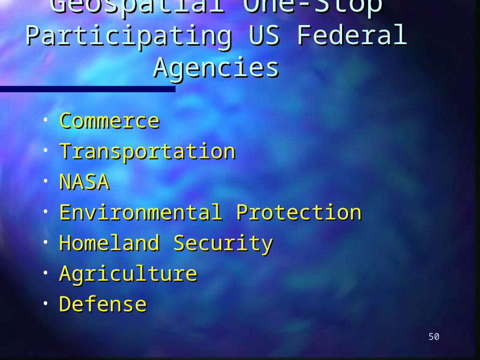
50
Geospatial One-StopGeospatial One-StopParticipating US Federal Participating US Federal
AgenciesAgencies
• CommerceCommerce• TransportationTransportation• NASANASA• Environmental ProtectionEnvironmental Protection• Homeland SecurityHomeland Security• AgricultureAgriculture• DefenseDefense

51
Geospatial One-StopGeospatial One-StopIntergovernmental Board of Intergovernmental Board of
DirectorsDirectors• International City/County Management International City/County Management
AssociationAssociation• Intertribal GIS CouncilIntertribal GIS Council• National Association of State CIOsNational Association of State CIOs• National States Geographic Information CouncilNational States Geographic Information Council• National Association of CountiesNational Association of Counties• National League of CitiesNational League of Cities• Western Governors’ AssociationWestern Governors’ Association• Department of the InteriorDepartment of the Interior• Department of CommerceDepartment of Commerce• Department of TransportationDepartment of Transportation• NASANASA