1 Southwest Aviation Weather Safety Workshop III Rick Curtis Myranda Muehlman.
51
1 Southwest Aviation Weather Safety Workshop Rick Curtis Myranda Muehlman
-
Upload
caroline-mills -
Category
Documents
-
view
218 -
download
1
Transcript of 1 Southwest Aviation Weather Safety Workshop III Rick Curtis Myranda Muehlman.
1
Southwest Aviation Weather Safety Workshop III
Rick CurtisMyranda Muehlman
2
“Why is my flight late?”

3
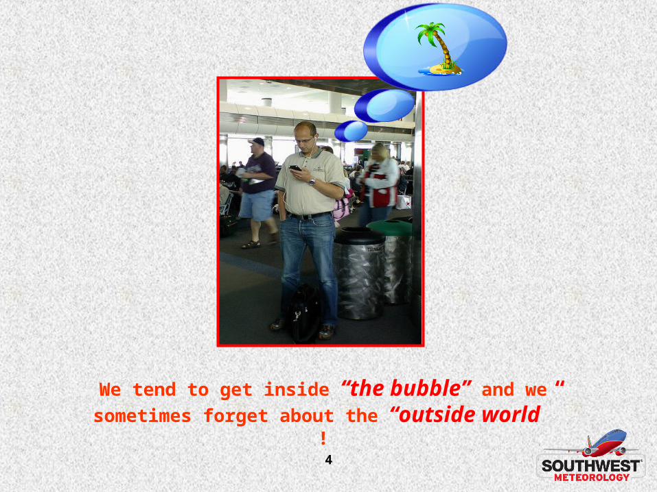
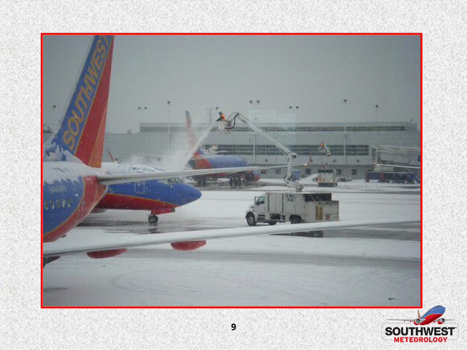
Something magical seems to happen to us when we get to the airport
4
We tend to get inside “the bubble” and we
sometimes forget about the “outside world” !

5
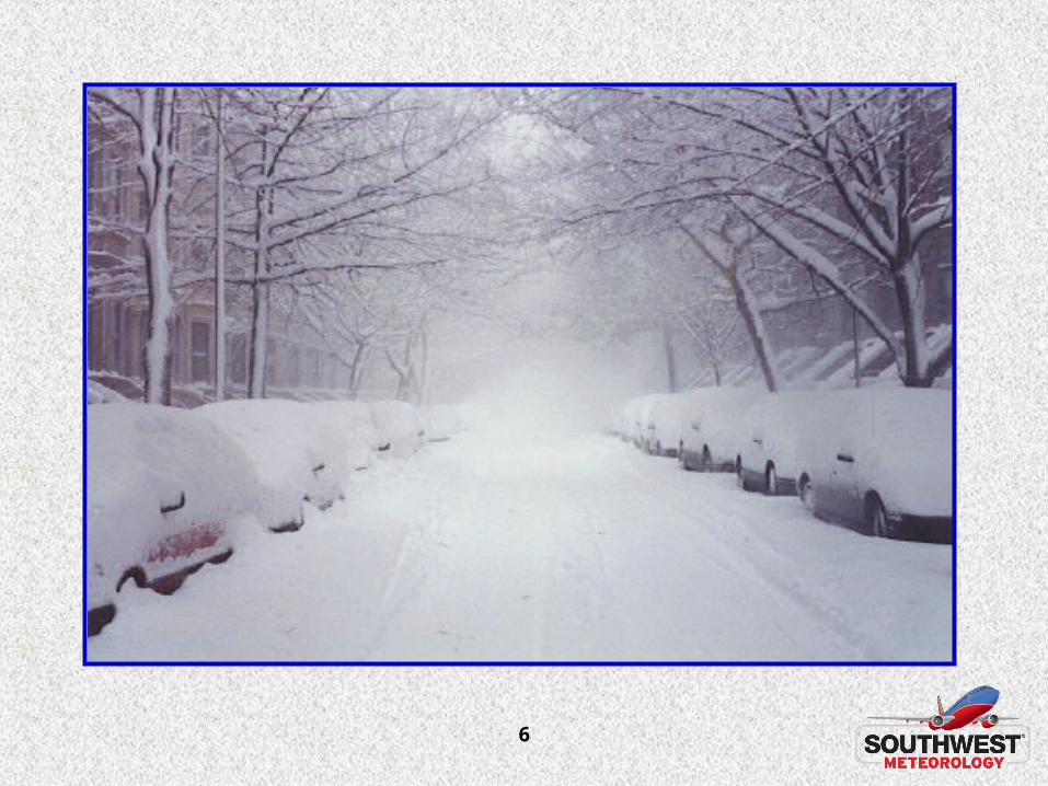
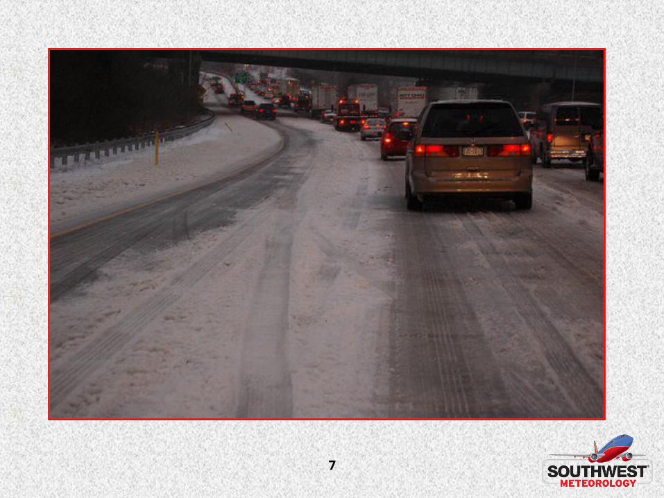
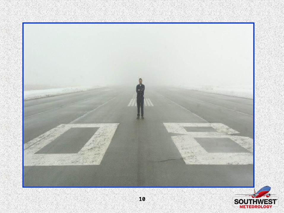
However, nothing will stand in our way as we try to get to our business meeting,
or that well deserved vacation!
6
7
8
9
10

11
“Just keep focusing on the goal”
12
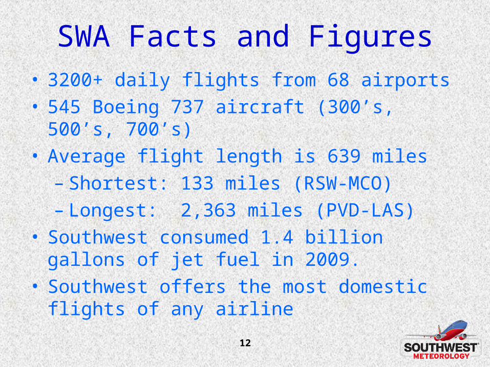
SWA Facts and Figures• 3200+ daily flights from 68 airports • 545 Boeing 737 aircraft (300’s, 500’s, 700’s)• Average flight length is 639 miles
– Shortest: 133 miles (RSW-MCO)– Longest: 2,363 miles (PVD-LAS)
• Southwest consumed 1.4 billion gallons of jet fuel in 2009.
• Southwest offers the most domestic flights of any airline
13
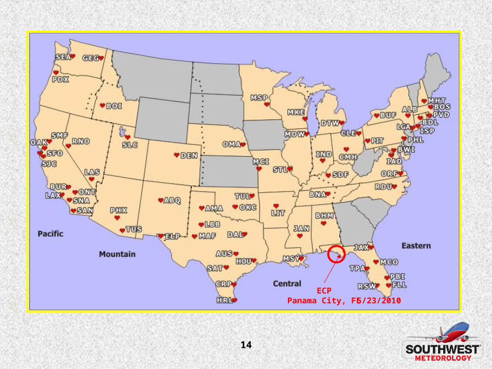
14
ECPPanama City, FL 5/23/2010
15
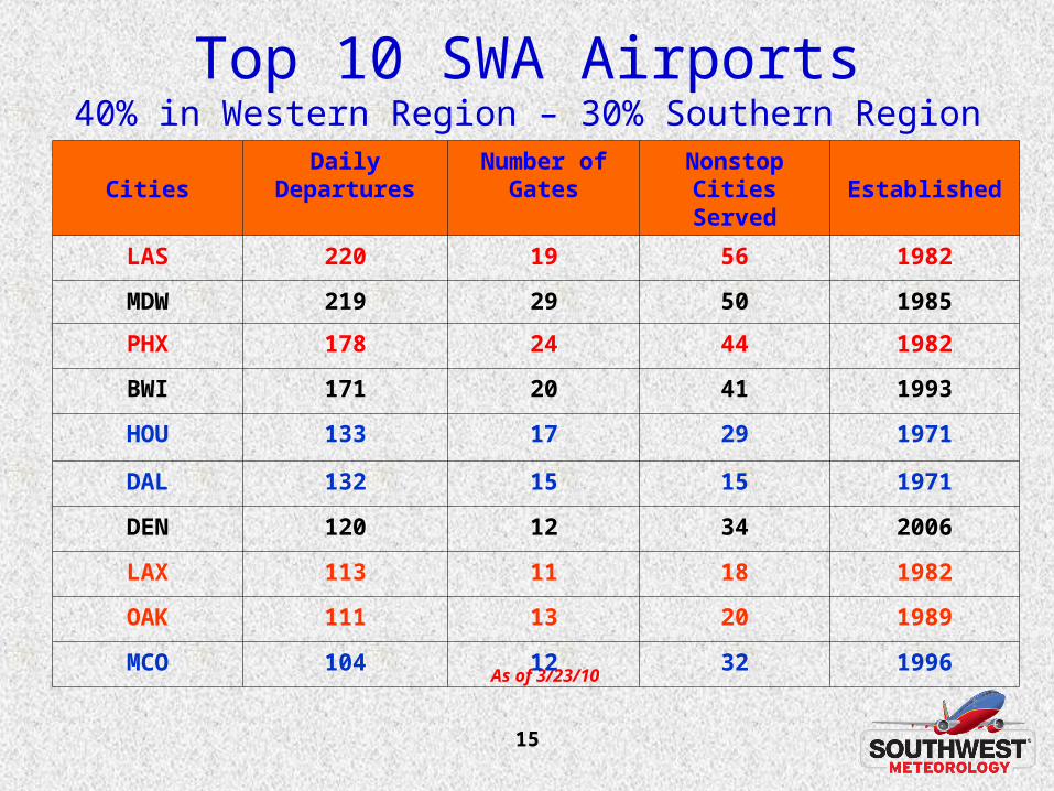
Top 10 SWA Airports40% in Western Region – 30% Southern Region
As of 3/23/10
CitiesDaily
DeparturesNumber of
GatesNonstop Cities
Served Established
LAS 220 19 56 1982
MDW 219 29 50 1985
PHX 178 24 44 1982
BWI 171 20 41 1993
HOU 133 17 29 1971
DAL 132 15 15 1971
DEN 120 12 34 2006
LAX 113 11 18 1982
OAK 111 13 20 1989
MCO 104 12 32 1996
16
NWS Western and Southern Regions
• 26% of all SWA destinations are in the NWS Western Region.
17
NWS Western and Southern Regions
• 26% of all SWA destinations are in the NWS Western Region.
• 35% of all SWA destinations are in the NWS Southern Region.
18
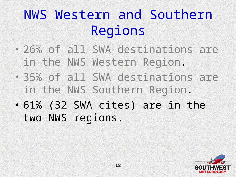
NWS Western and Southern Regions
• 26% of all SWA destinations are in the NWS Western Region.
• 35% of all SWA destinations are in the NWS Southern Region.
• 61% (32 SWA cites) are in the two NWS regions.

19
Snow Snow EventsEvents
20
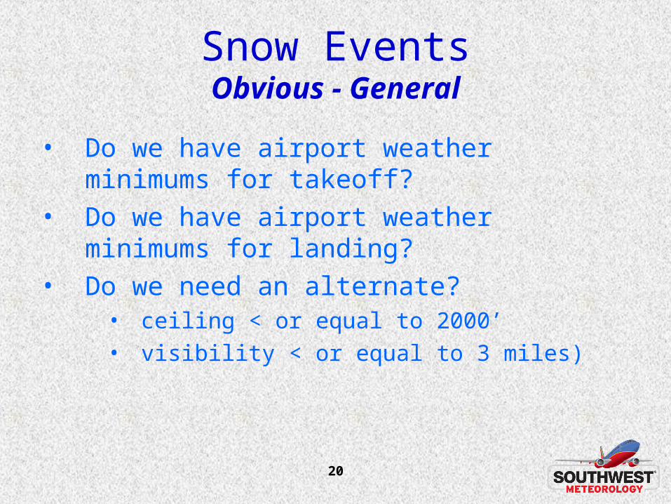
Snow EventsObvious - General
• Do we have airport weather minimums for takeoff?
• Do we have airport weather minimums for landing?
• Do we need an alternate?• ceiling < or equal to 2000’ • visibility < or equal to 3 miles)
21
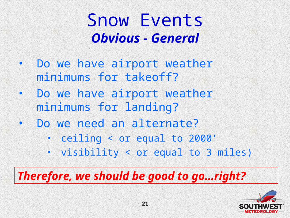
Snow EventsObvious - General
• Do we have airport weather minimums for takeoff?
• Do we have airport weather minimums for landing?
• Do we need an alternate?• ceiling < or equal to 2000’ • visibility < or equal to 3 miles)
Therefore, we should be good to go…right?
22
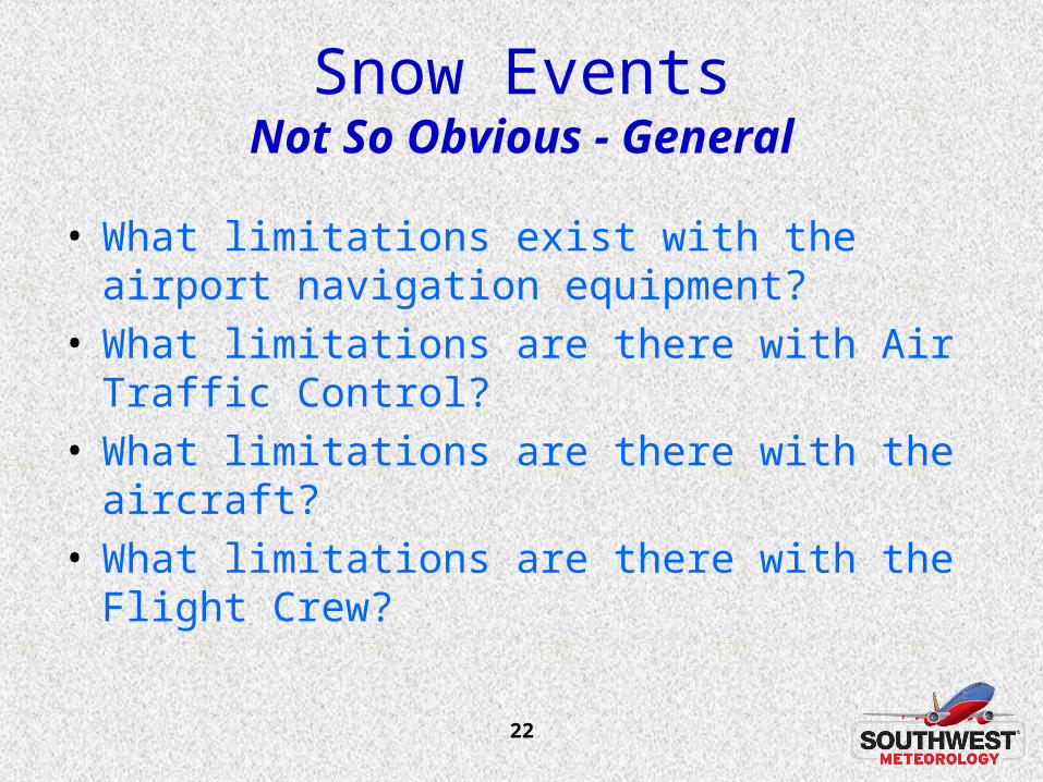
Snow EventsNot So Obvious - General
• What limitations exist with the airport navigation equipment?
• What limitations are there with Air Traffic Control?
• What limitations are there with the aircraft?• What limitations are there with the Flight Crew?
23
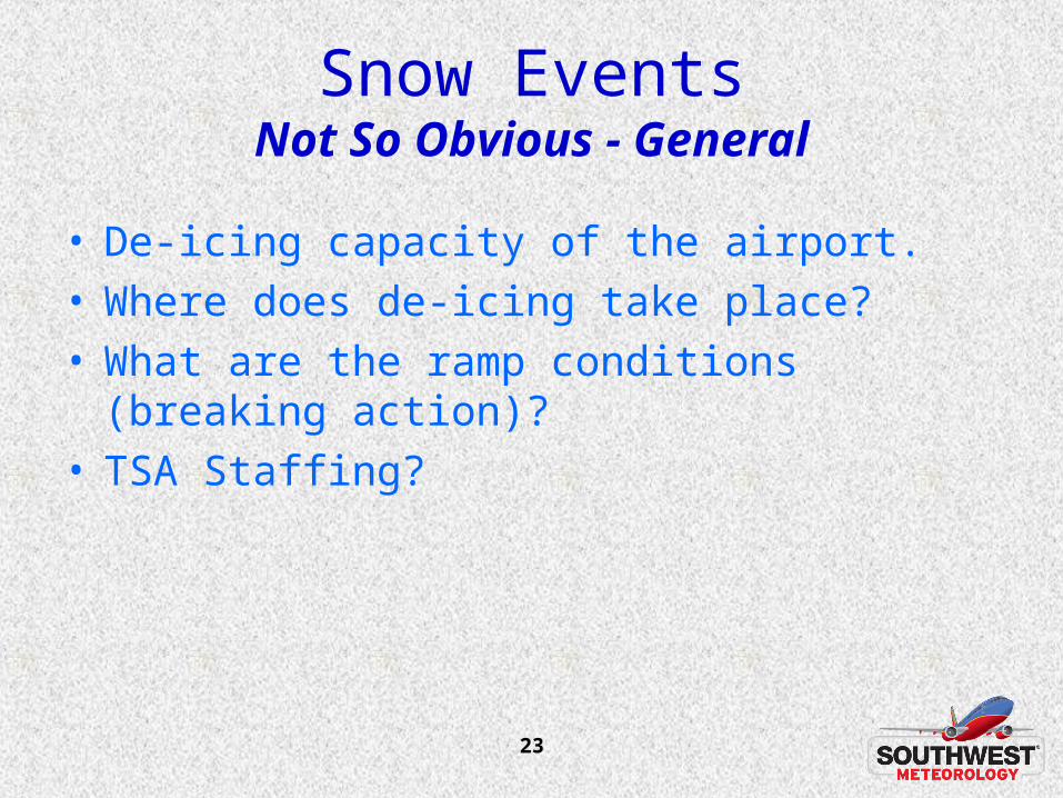
Snow EventsNot So Obvious - General
• De-icing capacity of the airport.• Where does de-icing take place?• What are the ramp conditions (breaking action)?• TSA Staffing?
24
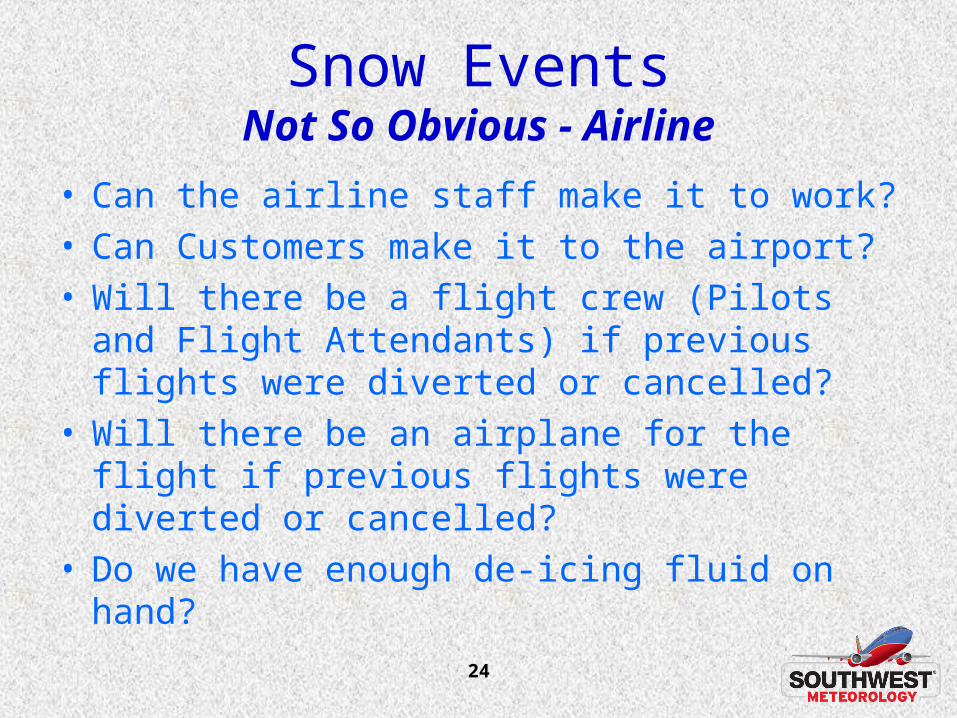
Snow EventsNot So Obvious - Airline
• Can the airline staff make it to work?• Can Customers make it to the airport?• Will there be a flight crew (Pilots and Flight
Attendants) if previous flights were diverted or cancelled?
• Will there be an airplane for the flight if previous flights were diverted or cancelled?
• Do we have enough de-icing fluid on hand?
25
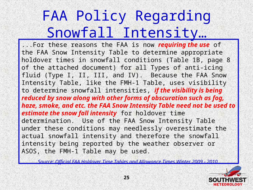
FAA Policy Regarding Snowfall Intensity…
...For these reasons the FAA is now requiring the use of the FAA Snow Intensity Table to determine appropriate holdover times in snowfall conditions (Table 1B, page 8 of the attached document) for all Types of anti-icing fluid (Type I, II, III, and IV). Because the FAA Snow Intensity Table, like the FMH-1 Table, uses visibility to determine snowfall intensities, if the visibility is being reduced by snow along with other forms of obscuration such as fog, haze, smoke, and etc. the FAA Snow Intensity Table need not be used to estimate the snow fall intensity for holdover time determination. Use of the FAA Snow Intensity Table under these conditions may needlessly overestimate the actual snowfall intensity and therefore the snowfall intensity being reported by the weather observer or ASOS, the FMH-1 Table may be used.
Source: Official FAA Holdover Time Tables and Allowance Times Winter 2009 - 2010
26
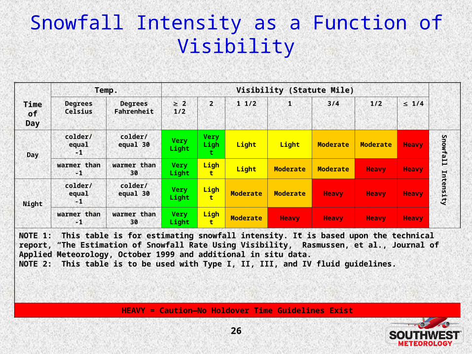
Snowfall Intensity as a Function of Visibility
Time of Day
Temp. Visibility (Statute Mile)
DegreesCelsius
Degrees Fahrenheit
2 1/2 2 1 1/2 1 3/4 1/2 1/4
Day
colder/equal-1
colder/equal 30 VeryLight
Very Light
Light Light Moderate Moderate Heavy
Snowfall Intensity
warmer than-1
warmer than 30 VeryLight
Light Light Moderate Moderate Heavy Heavy
Night
colder/equal-1
colder/equal 30 VeryLight
Light Moderate Moderate Heavy Heavy Heavy
warmer than-1
warmer than 30 VeryLight
Light Moderate Heavy Heavy Heavy Heavy
NOTE 1: This table is for estimating snowfall intensity. It is based upon the technical report, “The Estimation of Snowfall Rate Using Visibility,” Rasmussen, et al., Journal of Applied Meteorology, October 1999 and additional in situ data.NOTE 2: This table is to be used with Type I, II, III, and IV fluid guidelines.
HEAVY = Caution—No Holdover Time Guidelines Exist
27
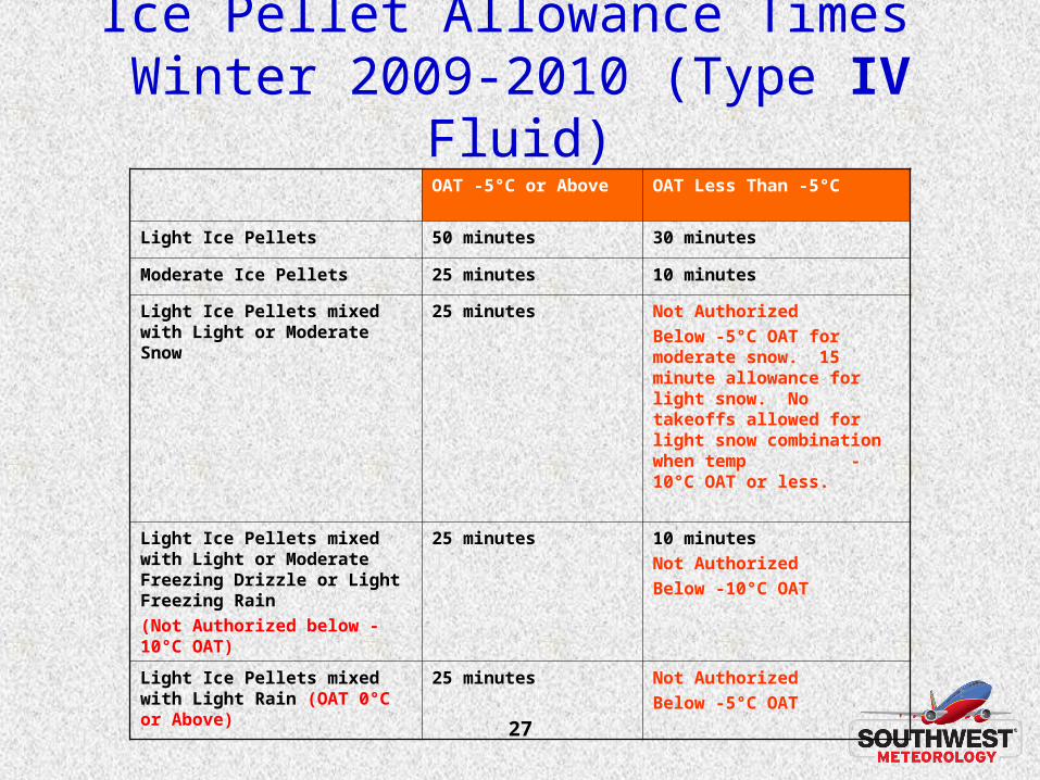
Ice Pellet Allowance Times Winter 2009-2010 (Type IV Fluid)
OAT -5°C or Above OAT Less Than -5°C
Light Ice Pellets 50 minutes 30 minutes
Moderate Ice Pellets 25 minutes 10 minutes
Light Ice Pellets mixed with Light or Moderate Snow
25 minutes Not Authorized
Below -5°C OAT for moderate snow. 15 minute allowance for light snow. No takeoffs allowed for light snow combination when temp -10°C OAT or less.
Light Ice Pellets mixed with Light or Moderate Freezing Drizzle or Light Freezing Rain
(Not Authorized below -10°C OAT)
25 minutes 10 minutes
Not Authorized
Below -10°C OAT
Light Ice Pellets mixed with Light Rain (OAT 0°C or Above)
25 minutes Not Authorized
Below -5°C OAT
28
Meteorological Data Collection and Reporting System (MDCRS)
• Six Airline Participants (AA, Delta/NWA, FedEx, SWA, United, UPS)
• Real-time data access restricted to participating airlines (ESRL web site) and government agencies
– Aircraft obs are largely limited to winds & temp (water vapor is coming)
– Aircraft obs frequently over-reported at airline hubs, and under-reported at less-busy locations
29
Desired Future State of MDCRS• Aircraft Weather Observations
– Reported where & when needed through some level of data optimization system
– Implement standardized reporting rate, data quality, and format.
– Delivered over standardized comm. systems (NOAAport) and available to everyone that desires real-time access
• Implement an enhanced process for allowing additional program participants

30
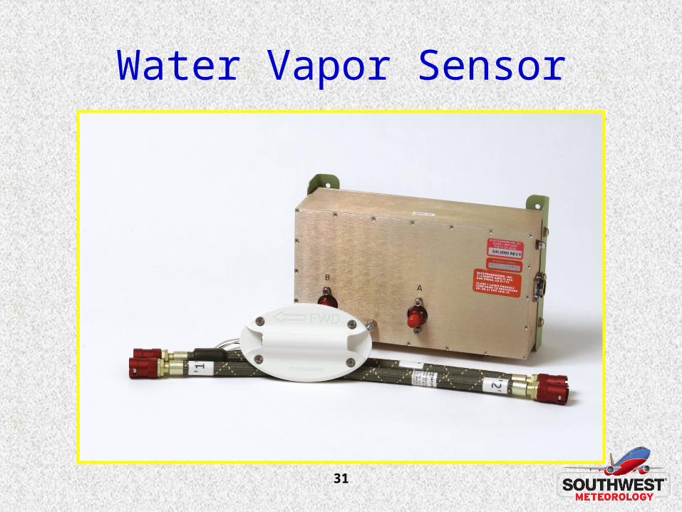
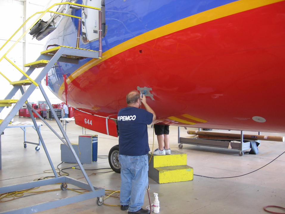
NWS Water Vapor Project• NWS contracts
– Awarded to ARINC for installation of 31 water vapor sensors on SWA aircraft
• SWA teaming with ARINC and SpectraSensors on installation and certification issues for the sensor
– Awarded upgrade to UPS to retrofit 25 current water vapor sensors on UPS aircraft with newly upgraded sensor.
• Schedule– First SWA aircraft reporting water vapor data in February
2010.
– Second SWA aircraft began reporting in late March 2010.
– Remaining 29 SWA aircraft to be installed at the rate of approximately 1 aircraft per month.
31
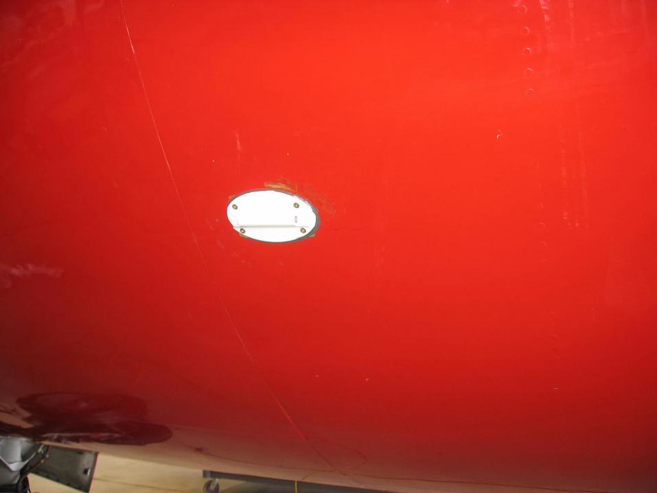
Water Vapor Sensor
32
33
34
35

36
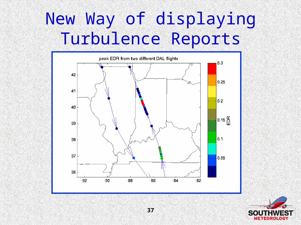
Automated Turbulence Reporting
• SWA plans to have automated turbulence reporting (EDR) on all of its 737-700 airplanes - approximately 340 aircraft.
• New 737 turbulence reporting algorithms were developed by NCAR - funded through the FAA Weather Research Program.
• We plan to begin a test of 10 aircraft in April and compare reports with PIREPs for 3-6 months.
• Extensive internal process will be initiated within SWA to determine how to integrate this information into our operational decision making process.
37
New Way of displaying Turbulence Reports

38
Now, let’s have a little fun!
39
Pop Quiz – Question 1
• What airport in the NWS western region has the highest flight landing weather minimums for Southwest Airlines?
40
Pop Quiz – Question 1
• What airport in the NWS western region has the highest flight landing minimums for Southwest Airlines?
• San Diego – Need 5000’ RVR (1 mile) plus 350’ vertical visibility above airport.
41
Pop Quiz – Question 2
• What is the highest sustained cross wind speed which SWA can operate?
42
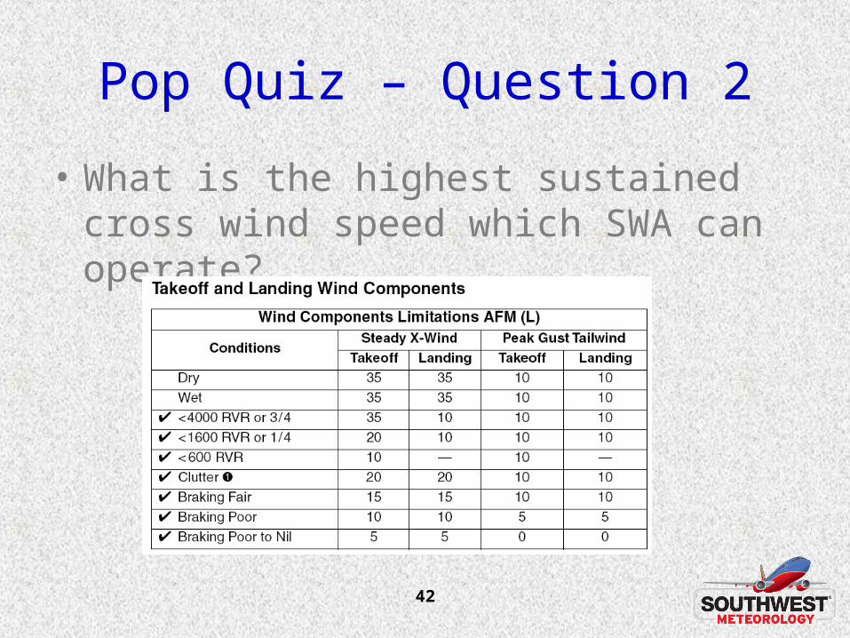
Pop Quiz – Question 2
• What is the highest sustained cross wind speed which SWA can operate?
43
Pop Quiz – Question 3
• Name three things the aviation section of the AFD can help communicate.

44
Pop Quiz – Question 3
• Name three things can the aviation section of the AFD can help communicate.– Overall TAF forecast confidence
– Things that you may have in the back of your mind but are not willing to put in the TAF.
– Differences between weather concerns at GA and commercial airports
– Event timing refinement
– Wind shifts – frontal passages.
– Sensitivity to higher weather minimums due to construction.
45
Pop Quiz – Question 4
• Why is it important to an airline that TAFs are consistent with other issued WFO products?
46
Pop Quiz – Question 4
• Why is it important to an airline that TAFs are consistent with other issued WFO products?
– We encourage Dispatchers to look at all issued products to improve situational awareness.
– Adds credibility to the WFO when products align.
– Perhaps communicates a lack of forecast confidence, or office coordination when multiple differences exist.
47
Pop Quiz – Question 5
• Name 5 valuable insights that you can provide during winter weather events to help facilitate airline operational decision making.
48
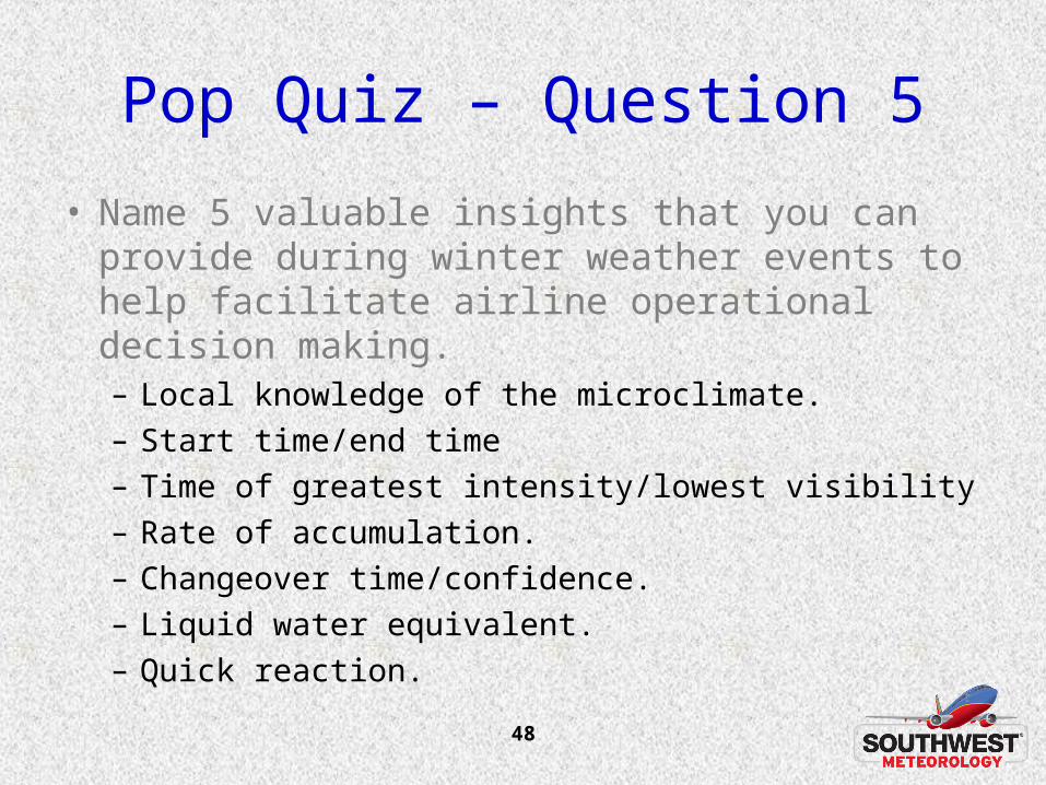
Pop Quiz – Question 5
• Name 5 valuable insights that you can provide during winter weather events to help facilitate airline operational decision making.– Local knowledge of the microclimate.– Start time/end time– Time of greatest intensity/lowest visibility– Rate of accumulation.– Changeover time/confidence.– Liquid water equivalent.– Quick reaction.
49
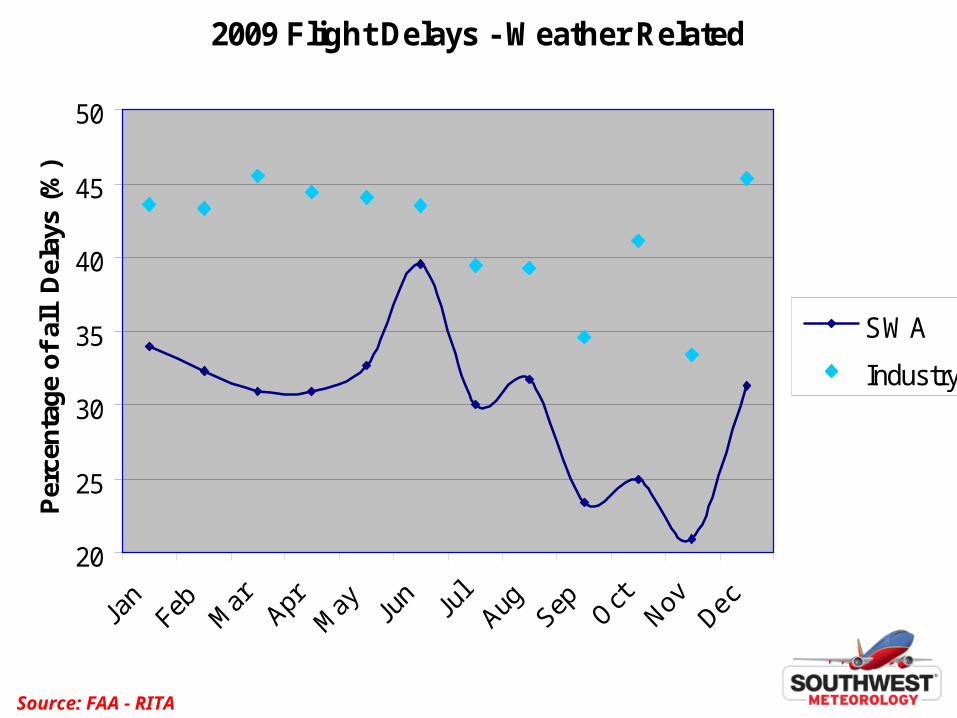
2009 Flight Delays - Weather Related
20
25
30
35
40
45
50
Per
cen
tag
e o
f al
l D
elay
s (%
)
SWA
Industry
Source: FAA - RITA
50
SWA Partnership with the NWS
• We only use NWS TAFs for operational decision making.
• Participation in meetings and workshops to communicate SWA operational decision criteria to NWS forecasters so they can better understand our use of their products.
• Always looking for ways to help promote NWS efforts.
• Assist with all levels of the NWS concerning aviation community usage of products and services.
• SWA entered into an agreement with the NWS to install water vapor sensors aboard 31 aircraft and report data during all flight phases for use by forecasters and forecasting models.
51
SWA Partnership with the NWS
• Thanks for your attention and all you do – your efforts are very much appreciated!