~~~~~~~~~~ Johan Abenius Environmental Monitoring Swedish Environmental Protection Agency SE - 106...
47
~~~~~~~~~~ Johan Abenius Environmental Monitoring Swedish Environmental Protection Agency SE - 106 48 Stockholm tel. +46 8 698 12 90 fax. +46 8 698 15 85 e-mail:
-
Upload
damian-hopkins -
Category
Documents
-
view
213 -
download
0
Transcript of ~~~~~~~~~~ Johan Abenius Environmental Monitoring Swedish Environmental Protection Agency SE - 106...

~~~~~~~~~~
Johan Abenius
Environmental Monitoring
Swedish Environmental Protection Agency
SE - 106 48 Stockholm
tel. +46 8 698 12 90
fax. +46 8 698 15 85
e-mail: [email protected]

1. Swedish nature2. Guiding principles3. Examples
Overview

•Ministry•Environmental Protection Agency (responsible for coordinating Natura 2000)•20 Regional boards•Species Information Centre
Swedish nature


Swedish nature
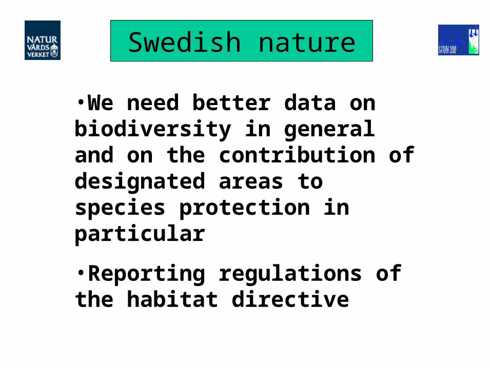
•We need better data on biodiversity in general and on the contribution of designated areas to species protection in particular
•Reporting regulations of the habitat directive

Natura 2000 in Sweden
• Initial confusion • Unsystematic data collection• (Very) preliminary assessments reported• Baseline survey to start next year
Baseline assessment
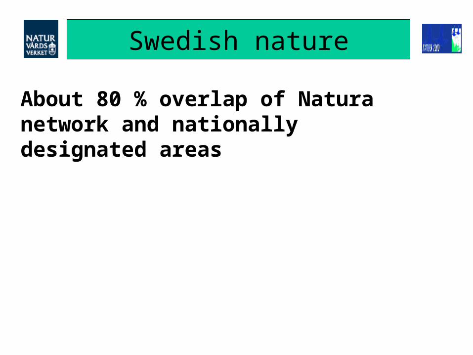
About 80 % overlap of Natura network and nationally designated areas
Swedish nature


National project 2002-2003
•Focus on strategy and methods for monitoring of Natura 2000 network
•Should enable by January 2004 to start fullscale monitoring of swedish part of Natura 2000
Swedish nature

Wide range of data providers:
National BioDiv monitoringSpecies Info CentreSectorial agenciesCounty boardsNGO’s
Swedish nature

Guiding principles
Interpretation of key terms
Monitoring
Surveillance
(….)

Guiding principles
1. Survey
2. Set objectives
3. Monitor

Guiding principles
•Base-line survey to establish state
•Monitoring to detect changes

Guiding principles
Conservation objective
Action program
Implementation
Monitoring
Analysis, reporting
FCS
Objectives to drive the system

Guiding principles
Monitoring tuned to management intensity

Guiding principles
Minimum intervention management >>
•Low frequency monitoring•Early warning systems

Guiding principles
Regular management or restoration management >>
•High frequency monitoring integrated in management system

Guiding principles
Spatial scale for assessment?
Natura report on the status of total national (and biogeographic) populations

Guiding principles
National and biogeographical assessment of FCS
National landscape surveillance
Other sources
Site-based monitoring

Guiding principles
Typical species (indicator value X abundans)
<Redlisted/Annex II species
<”Typical” (quality indicator species)
<Characteristic/ defining sp

Guiding principles
Late news - typical species to deliver!
Field tests 2003 affirmed use of typical species as indicator for habitat quality

Guiding principles
Structure and function
•Finding good indicators is the key to good economy

Remote sensing:•Satellite data (monitoring)•Infra-red airborne (base-line survey)
Preferred techniques
Satellite data for mapping and monitoring of habitats with high
nature conservation values
The County Administration of Norrbotten
Swedish EPA
The County Administration of Kalmar
Metria Miljöanalys

Aapamires
Threat - changes
1987
2000
New road
Sphagnum-dominated mire
Increased field layer (Carex, etc)

Habitat examples

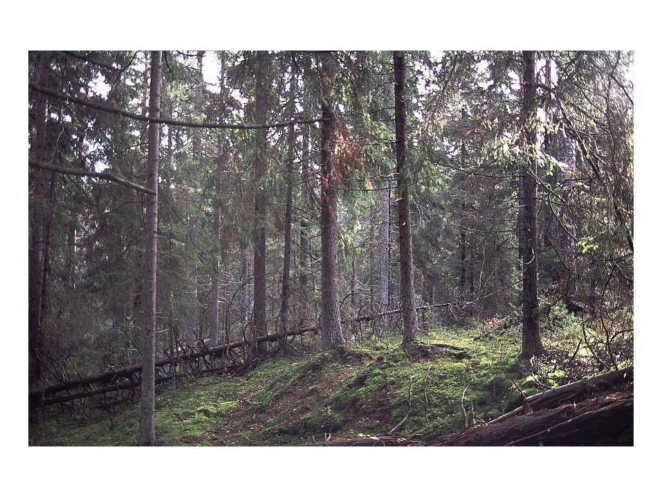
9010 Western taiga9110 Luzula-Phagetum beech forests7240 Alpine pioneer formations of the Caricion bicoloris-atrofuscae
Habitat examples

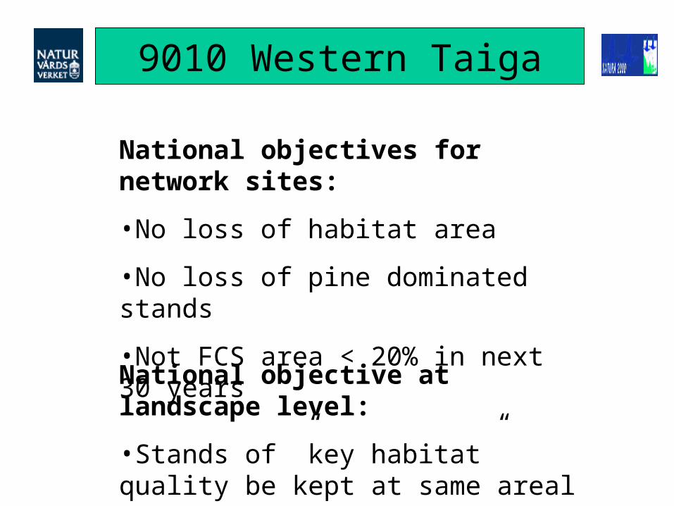
9010 Western Taiga
Areal extent:1 million ha in the network
1 million ha outside of network

9010 Western Taiga
Subtypes:•Oldgrowth types by tree species
•Recently burnt stands
•Young post-fire successions
9010 Western Taiga
National objectives for network sites:
•No loss of habitat area
•No loss of pine dominated stands
•Not FCS area < 20% in next 30 years
National objective at landscape level:
•Stands of ”key habitat” quality be kept at same areal

9010 Western Taiga
Base-line survey should:
•Map distribution of habitat and subtypes
•Assess quality criteria (some subtypes)
Base-line survey techniques:
•Airborne IR photo
•Commercial land assessments, inventories

9010 Western Taiga
Monitoring should:
•Detect unwanted impact on network sites
•Detect changes in habitat quality
•Detect biodiversity losses

9010 Western Taiga
Monitoring techniques:
•Satellite data
•Landscape surveillance programmes
•Surveillance of nesting birds

9010 Western Taiga
Site-based monitoring of managed and restoration sites:
•Forest stand structure
•Tree species composition, regrowth

9110 Beech forest
Areal extent:5 000 ha in the network
60 000 ha outside of network

9110 Beech forest
Subtypes:•Continental region (no spruce allowed)
•Boreal region (spruce OK)
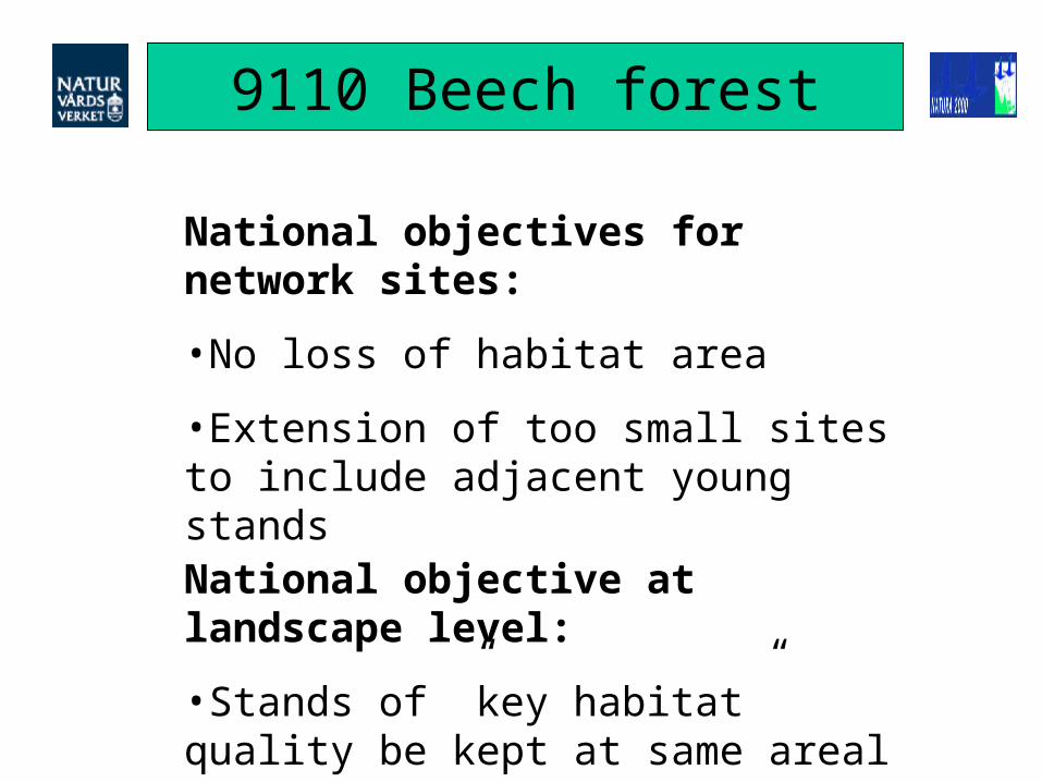
9110 Beech forest
National objectives for network sites:
•No loss of habitat area
•Extension of too small sites to include adjacent young stands
National objective at landscape level:
•Stands of ”key habitat” quality be kept at same areal

9110 Beech forest
Base-line survey should:
•Map distribution of habitat
•Quantify quality criteria (dead wood etc)
Base-line survey techniques:
•Airborne IR photo
•Field based survey

9110 Beech forest
Monitoring should:
•Detect unwanted impact on network sites
•Detect changes in habitat area / quality
•Detect decrease in dead wood
•Verify no (or few) spruce saplings present
•Verify regeneration of beech present

9110 Beech forest
Monitoring techniques:
•Airborne IR photo
•Field-based standard methods for forestry assession
•Specific field-based methods
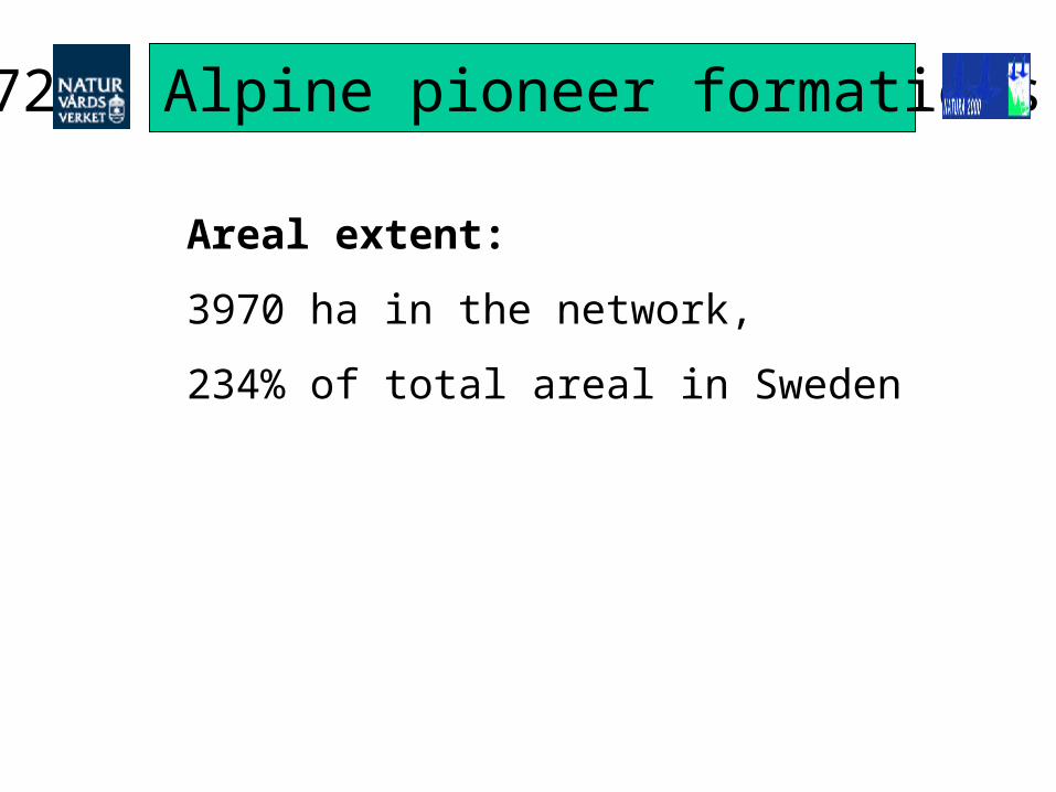
7240 Alpine pioneer formations
Areal extent:
3970 ha in the network,
234% of total areal in Sweden

7240 Alpine pioneer formations
National objectives for network sites:
•No loss of habitat area
•Control of bush or tree encroachment
•Control of erosion by vehicles/ paths
•No loss of (number of) typical species

7240 Alpine pioneer formations
Base-line survey should:
•Map distribution of habitat
•Assess quality criteria
Base-line survey techniques:
•Field based (on reported sites for habitat defining Carex species)
•Deliniation of habitat on ortogonal airborne photo

7240 Alpine pioneer formations
Monitoring should:
•Detect changes in habitat extent
•Detect changes in habitat quality
Monitoring techniques:
•Field based, semipermanent transect and plot sampling.
•Methods as already tested for seminatural grasslands.